
Nature · Plateau formed on a Tertiary seabed; geoglyphs of uncertain date, recorded from the air in 1986
Ustyurt Plateau, the Arrow Geoglyphs and Lake Sudochye
A limestone tableland the size of a country, ending in 200-metre cliffs above the dry Aral seabed, with ancient hunting 'arrows' visible only from the air and a reed-fringed lake where flamingos nest. The expedition side of Karakalpakstan.
About
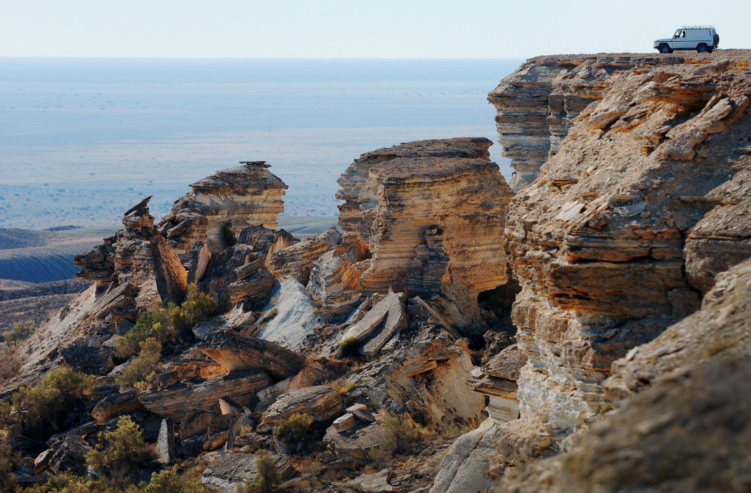
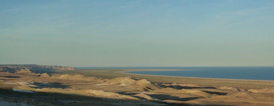
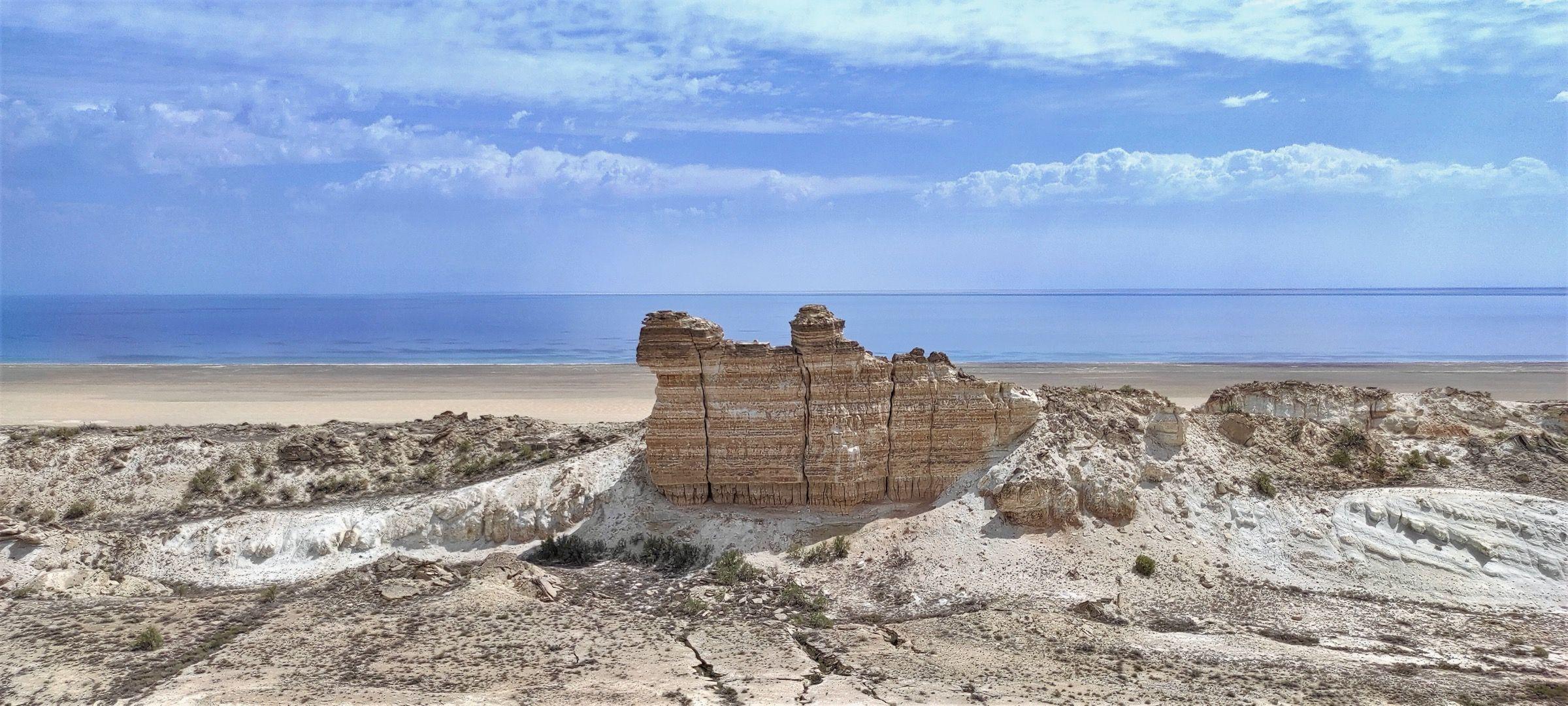
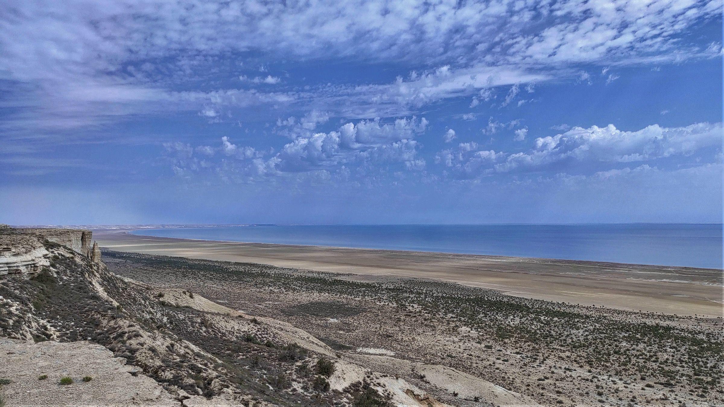
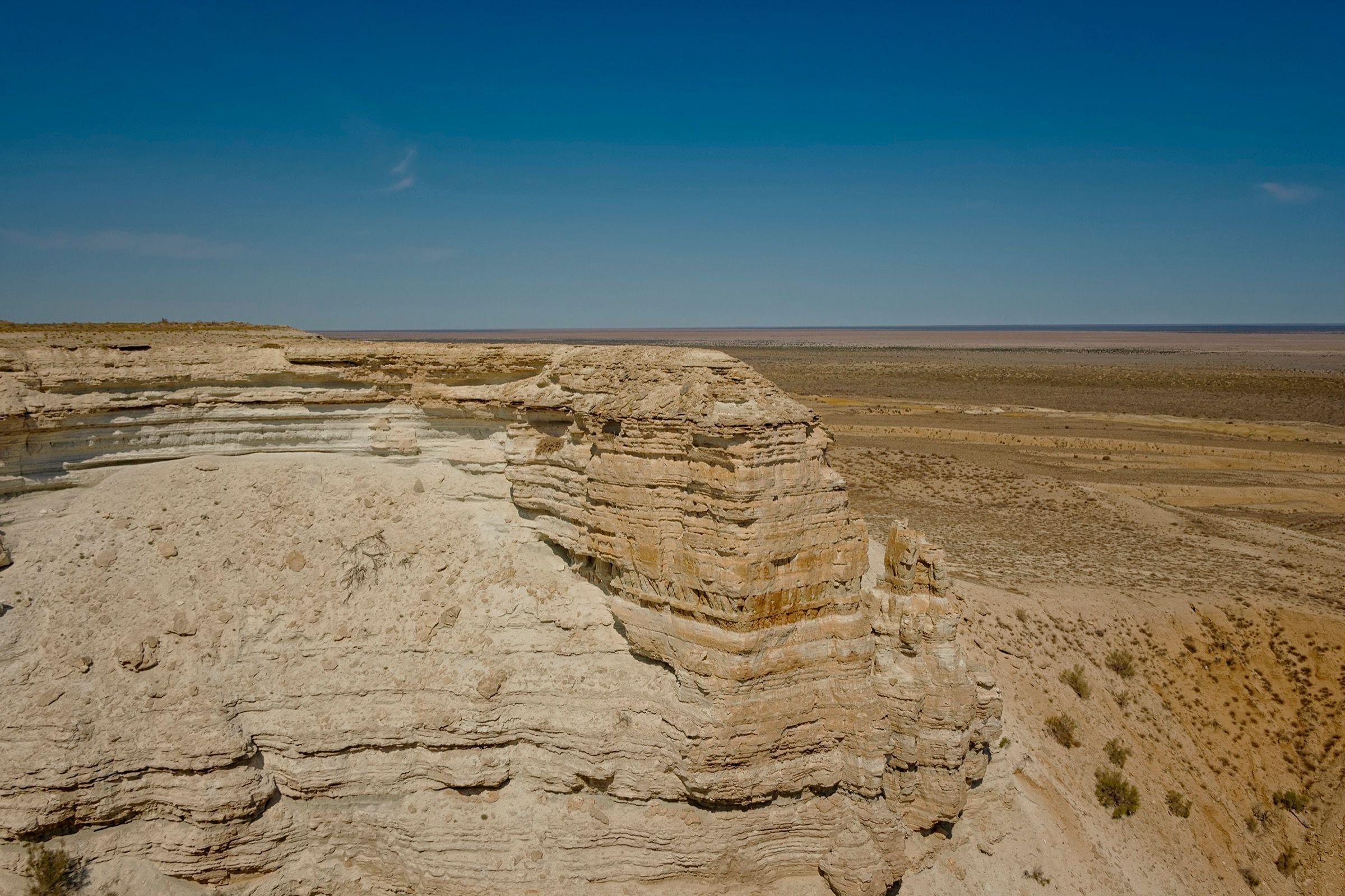
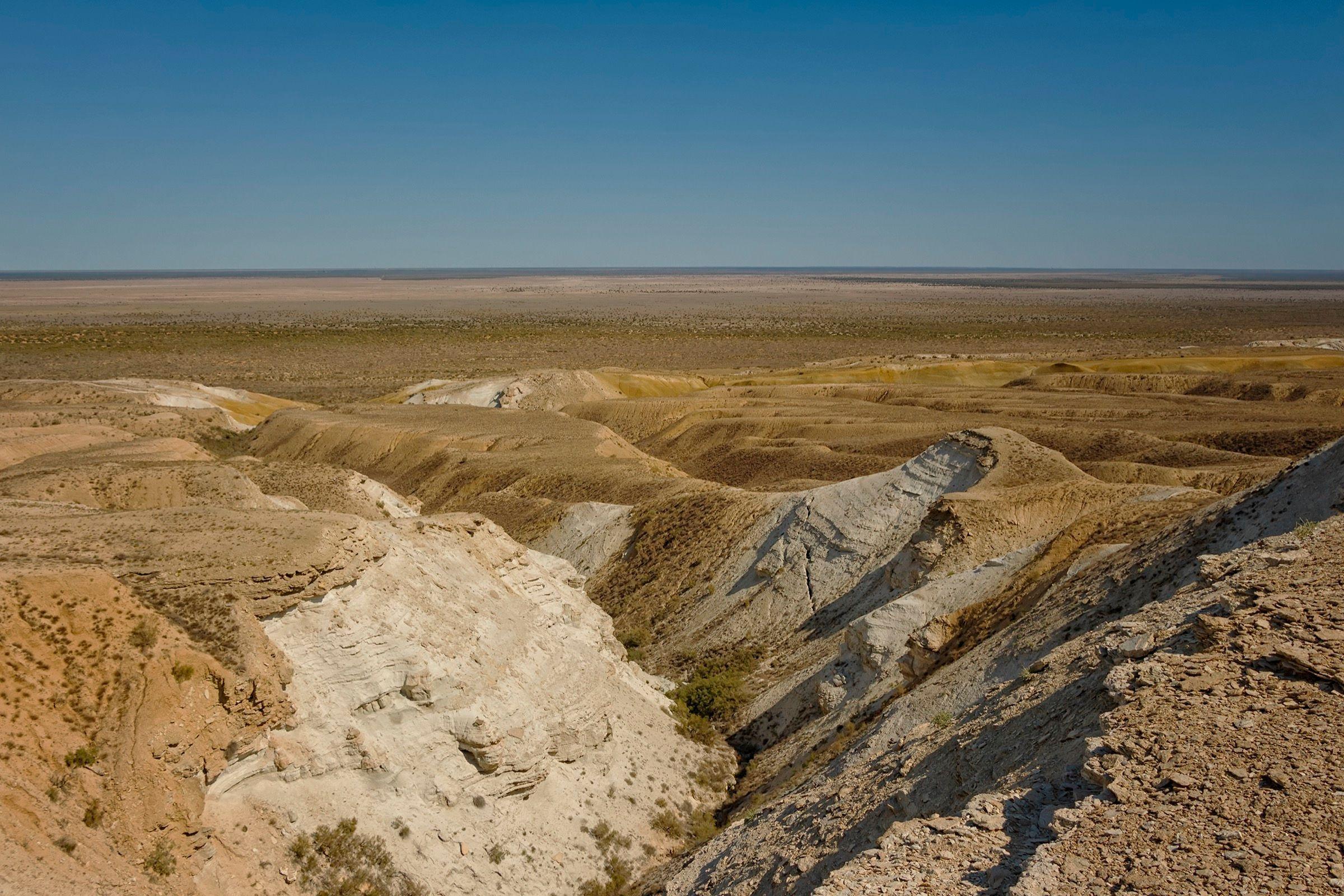
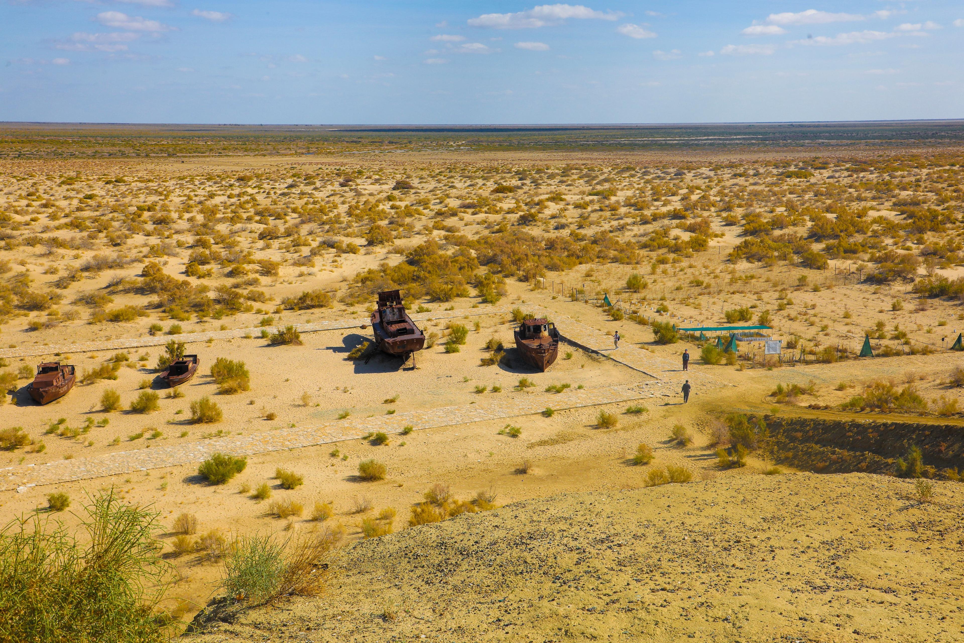
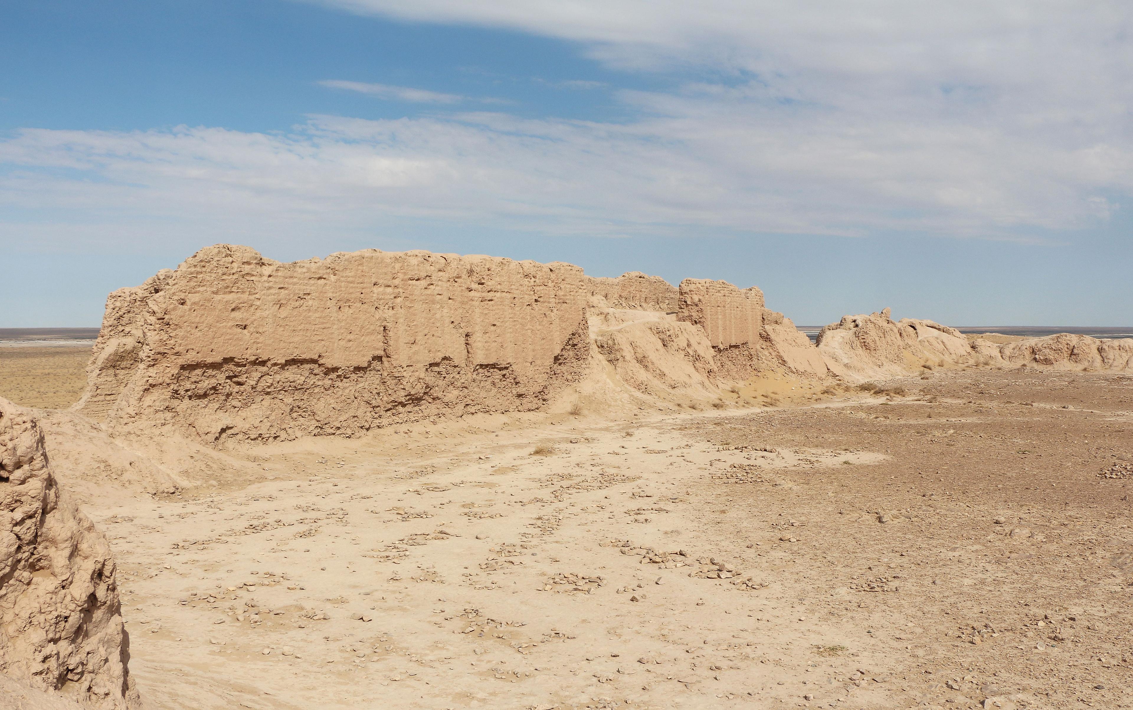
West of the Aral Sea the land rises in a single step to the Ustyurt, a flat limestone plateau of some 200,000 square kilometres shared between Uzbekistan, Kazakhstan and Turkmenistan. Its edges, called chinks, are cliffs up to 200–350 metres high, carved into bays, towers and white-and-pink terraces where the rock, once the floor of the Tethys ocean, is full of shells. From the Uzbek chink above Muynak and the former shore you look out over the Aralkum, the new desert where the sea used to be, and on a clear morning see the remaining water as a blue line in the north.
The arrows of Ustyurt
In 1986 the Karakalpak archaeologist Vadim Yagodin, examining aerial photographs, noticed enormous line drawings on the plateau: arrow-shaped enclosures of low stone walls, up to 900 metres long, laid out in a chain along the ancient edge of the sea. Around fifty are now known, on both sides of the Kazakh border. They are far too large to be read from the ground, which is why no one had recorded them before. The most widely accepted explanation is that they were traps: herds of saiga and kulan migrating across the plateau were driven into the wide mouth of the arrow and funnelled into pits at its point, a method of mass hunting known from other steppe regions. Their age is uncertain; nearby burial mounds are medieval, but the arrows may be much older. Seeing one properly requires a drone or a high viewpoint, and the better reason to come is the landscape around them.
Lake Sudochye and Cape Urga
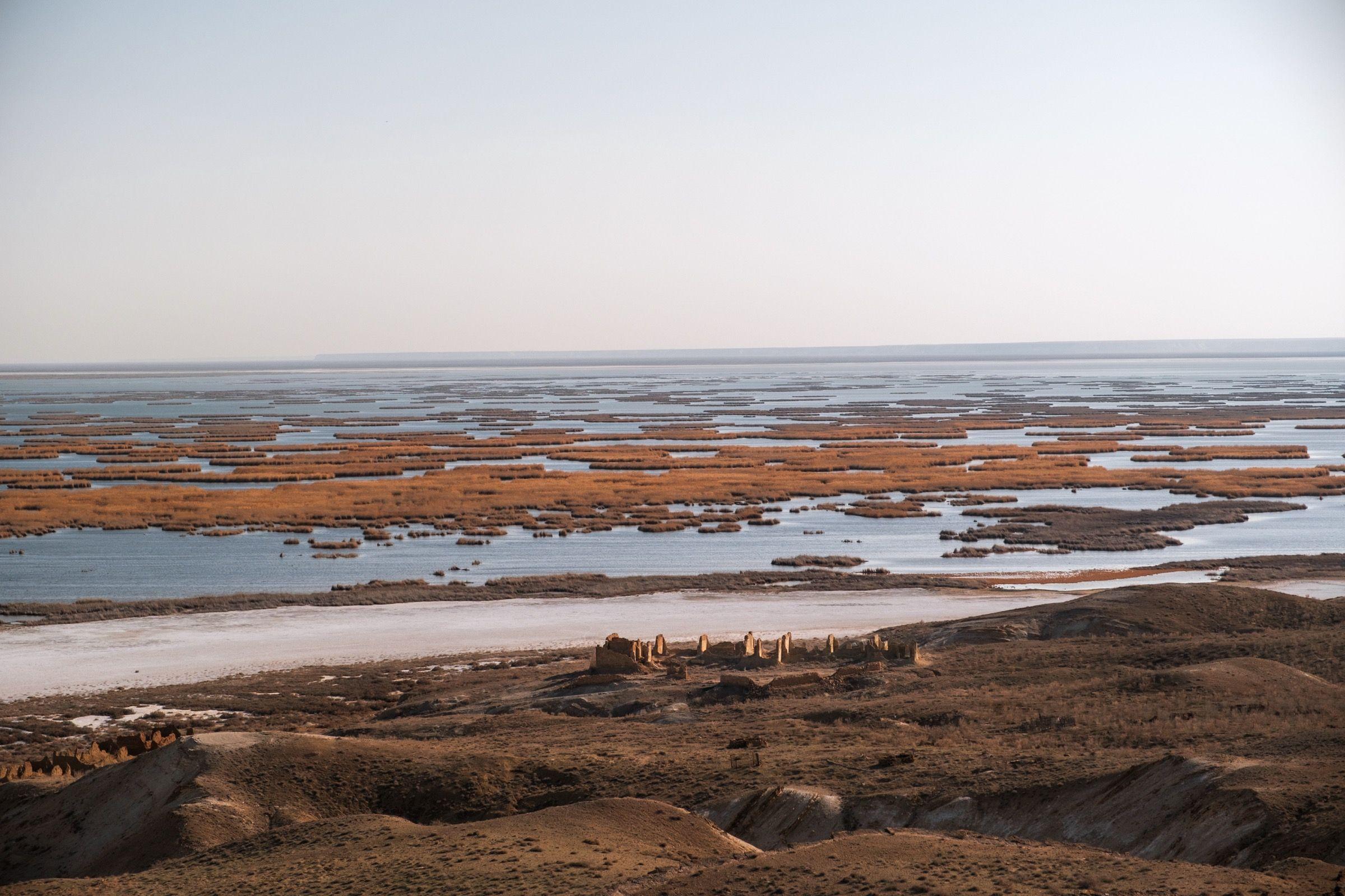
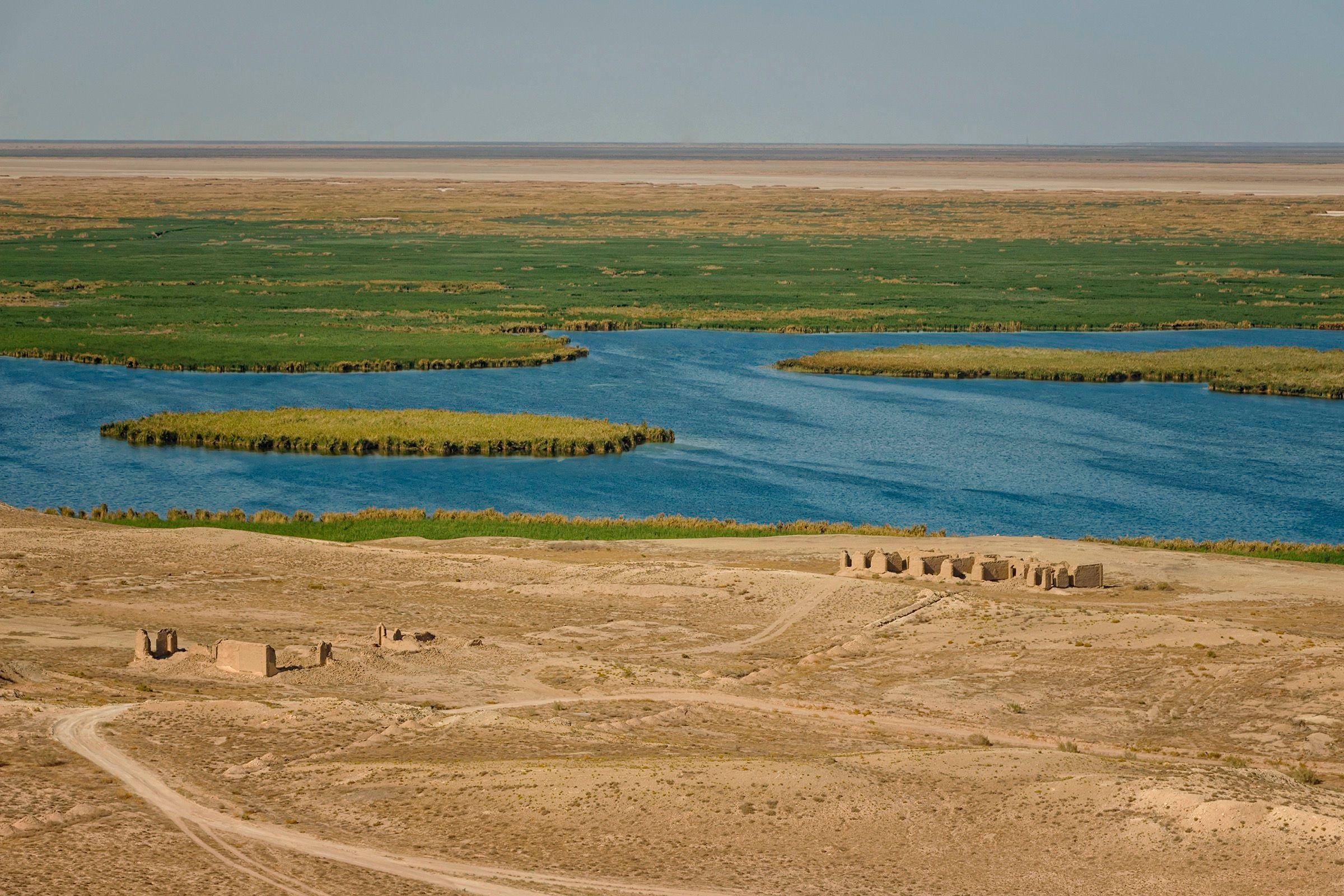
At the foot of the chink, 80 km or so from today's Aral, the Sudochye lakes are what remains of a bay that was cut off when the sea retreated and is now fed by drainage canals from the Amu Darya delta. Reed beds and open water make it the best bird site in Karakalpakstan: pelicans, swans, herons and, in spring and autumn, thousands of greater flamingos, with around 7,000 recorded nesting in 2014. The lake system is listed as a wetland of international importance and is protected as the Sudochye-Akpetki reserve. On the western shore, under the cliff, stand the ruins of Urga, a fishing settlement founded by Russian settlers in the late 19th century, with the shells of a fish factory, a watchtower and an Orthodox cemetery. Walkers on the chink above see the whole scene at once: the cliffs, the islands in the reeds and the white salt flats beyond.
Travelling on the plateau
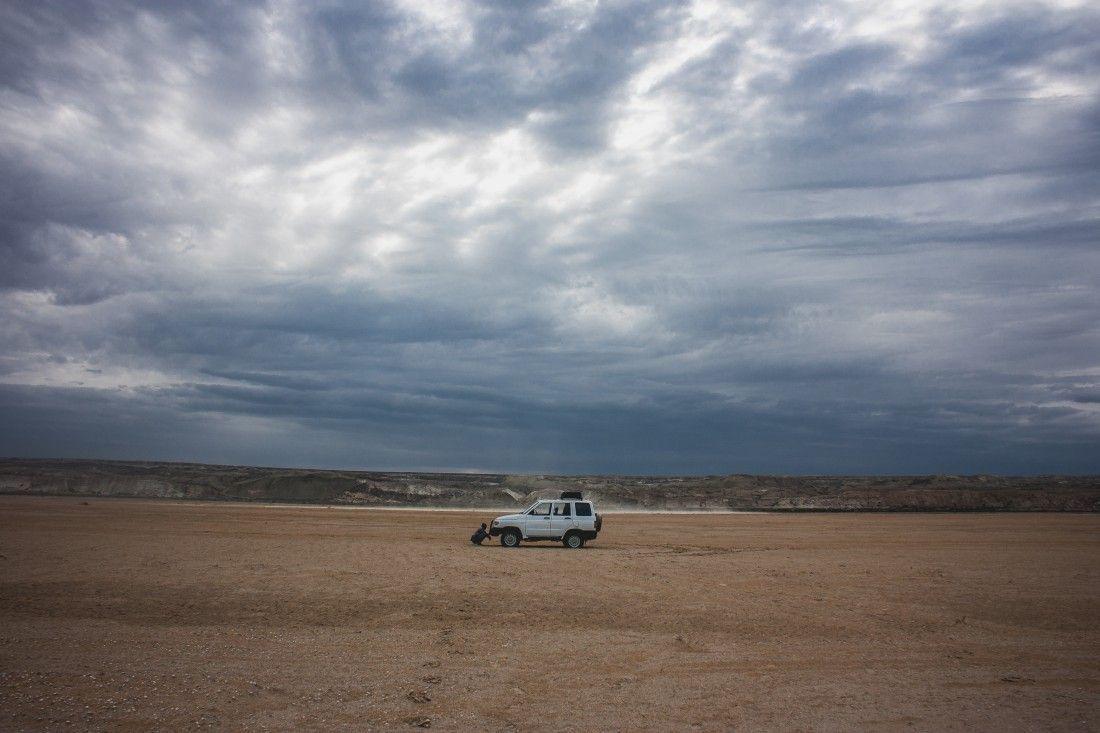
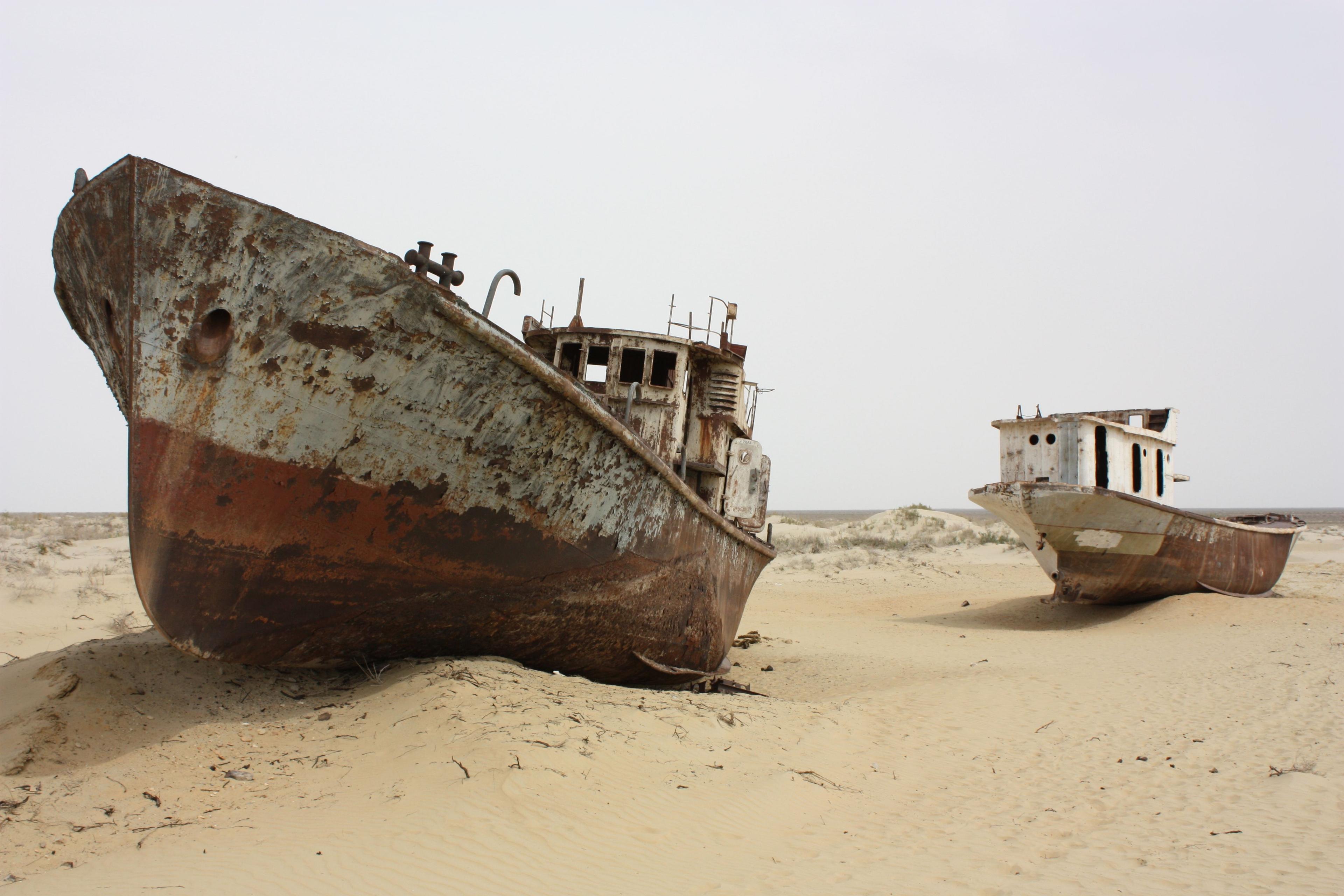
There are no roads in the usual sense, only tracks, and distances are large: from Muynak or Kungrad it is three to five hours by 4x4 to the chink and Sudochye. Most visitors go on a two- or three-day expedition with a driver who knows the tracks, camping on the cliff edge or sleeping in a yurt camp near Muynak, and combining Ustyurt with the Aral shore and the ship cemetery. Sunrise over the Aralkum from the top of the chink is the moment everyone comes for.
Practical notes
Take everything with you: water, fuel, food and warm clothing even in summer, since nights are cold and the wind constant. Spring (April–May) and autumn (September–October) are the seasons; summer heat above 40 °C and winter winds make the plateau punishing. Mobile coverage disappears beyond Muynak, so travel only with an experienced local operator.
What to see
- The chinks: white and pink cliffs up to 200 metres above the dried seabed
- Sunrise over the Aralkum and the distant Aral Sea from the cliff top
- The arrow geoglyphs, ancient hunting enclosures seen from the air
- Lake Sudochye with its reed islands, pelicans and nesting flamingos
- The ruins of the Urga fishing settlement under the plateau wall
- A two- or three-day 4x4 expedition with camping on the cliff edge
Gallery
Tours that visit Ustyurt Plateau, the Arrow Geoglyphs and Lake Sudochye
More sights in Karakalpakstan
All of Karakalpakstan
See Ustyurt Plateau, the Arrow Geoglyphs and Lake Sudochye with a local guide
We build private and small-group trips around the places you want to see — with guides who grew up here.