
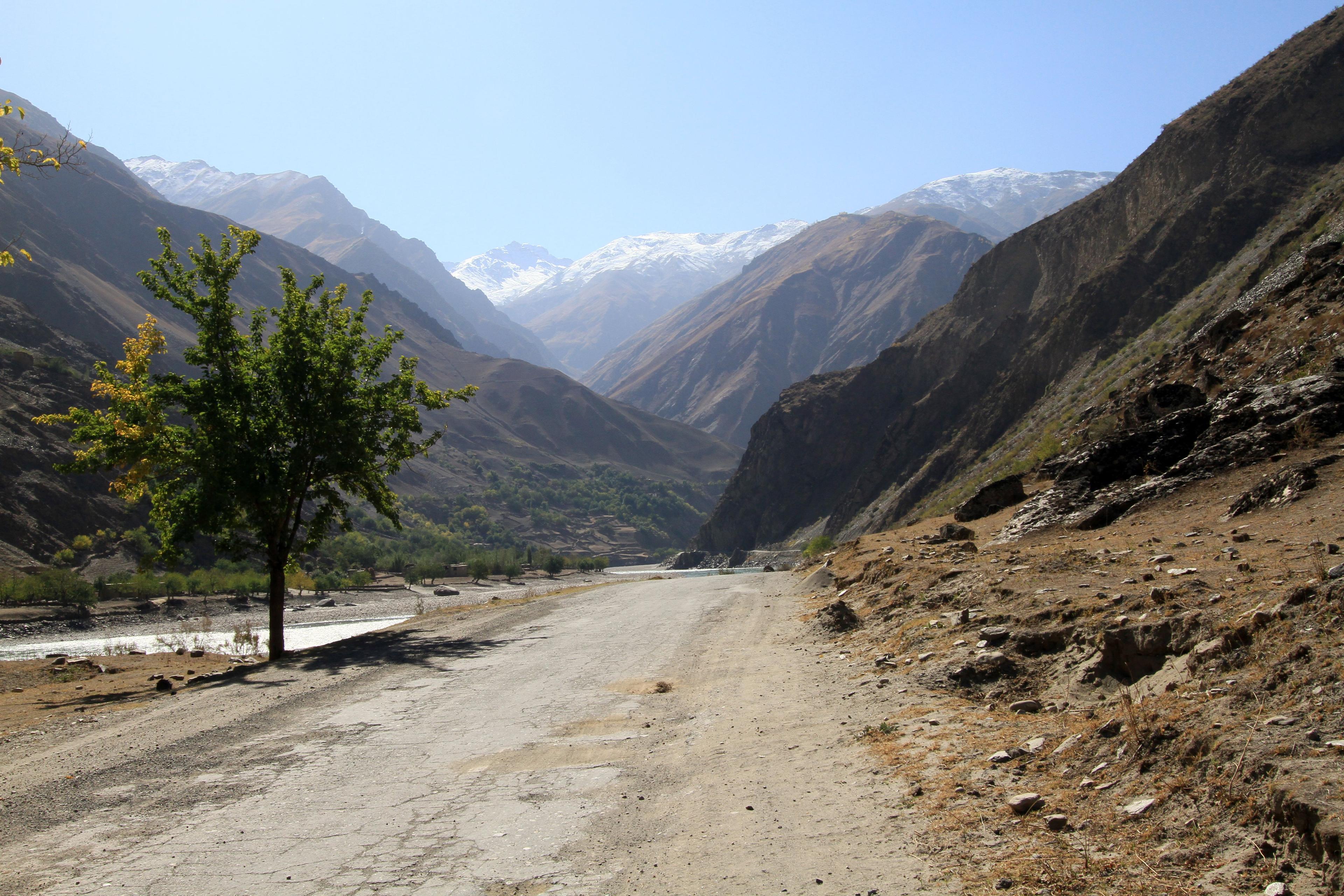
Nature · Road built mainly in the 1930s; highest point Ak-Baital pass, 4,655 m
Pamir Highway
The M41 runs from Dushanbe along the Afghan border and across the 'Roof of the World' to Osh in Kyrgyzstan, topping out at 4,655 metres. It is one of the great overland journeys of Asia, and needs a week or more, a permit and a good driver.
About
The Pamir Highway is the informal name for the M41 road that links Dushanbe with Khorog, the capital of the Gorno-Badakhshan region, and then crosses the high Pamir plateau to Osh in southern Kyrgyzstan. Most of it was built by the Soviet Union in the 1930s to supply its frontier with Afghanistan and China; it remains the only real road across the region. Long stretches are rough, potholed or gravel, and the journey is as much about the landscape and the people along it as about the destination.
The route
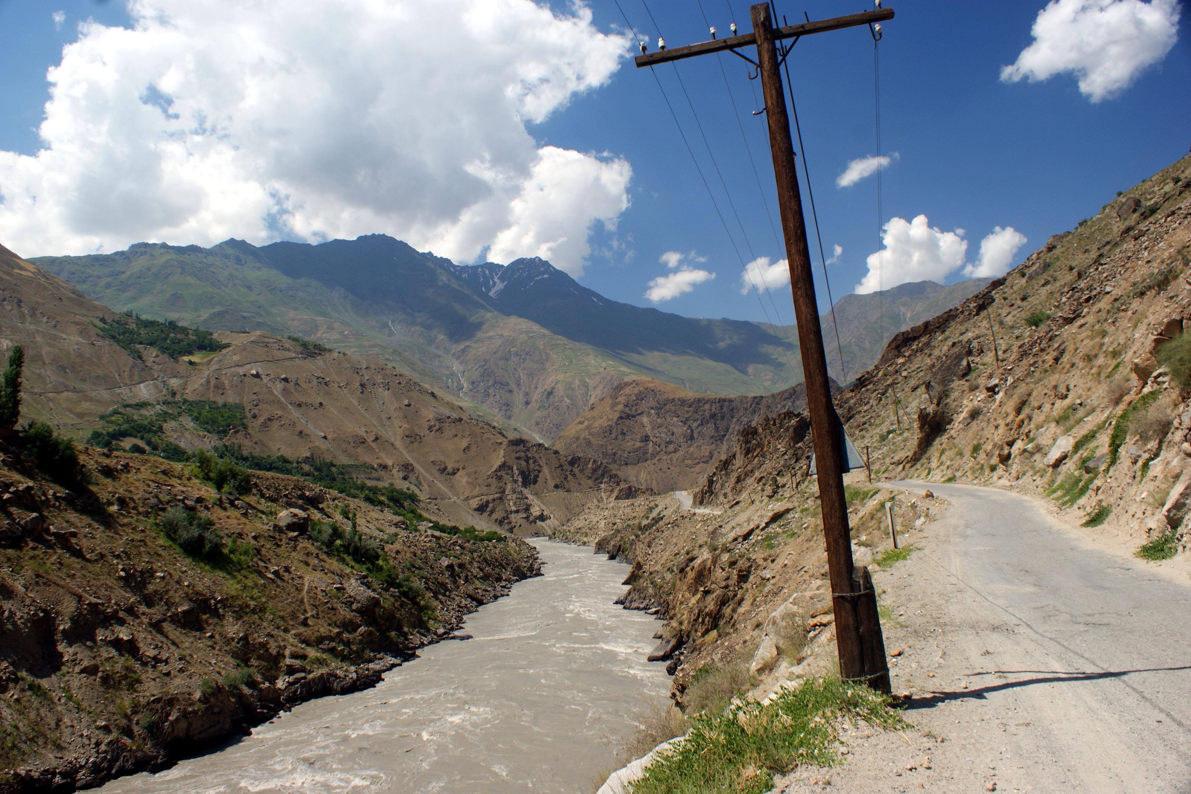
- Dushanbe to Khorog: two long days, either via Kulob or over the Khaburabot pass, joining the Panj river at Kalaikhumb and following it upstream. For hours the road runs along the river with Afghan villages within shouting distance on the far bank.
- Khorog: a small green town at about 2,100 metres, with a high-altitude botanical garden and a lively bazaar.
- The Wakhan valley: most travellers detour south and east along the Panj, the most beautiful section of the trip, rejoining the highway on the plateau.
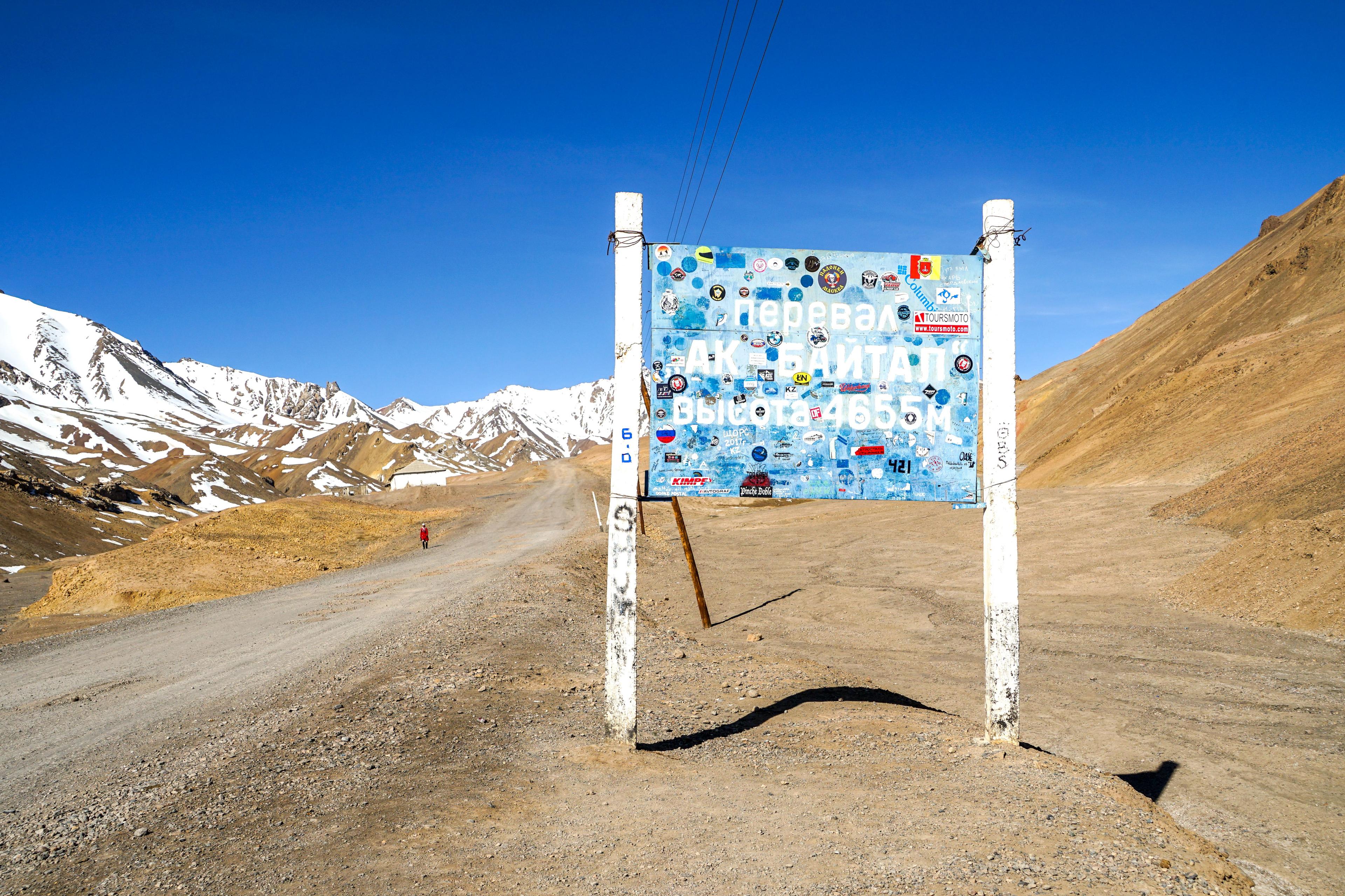
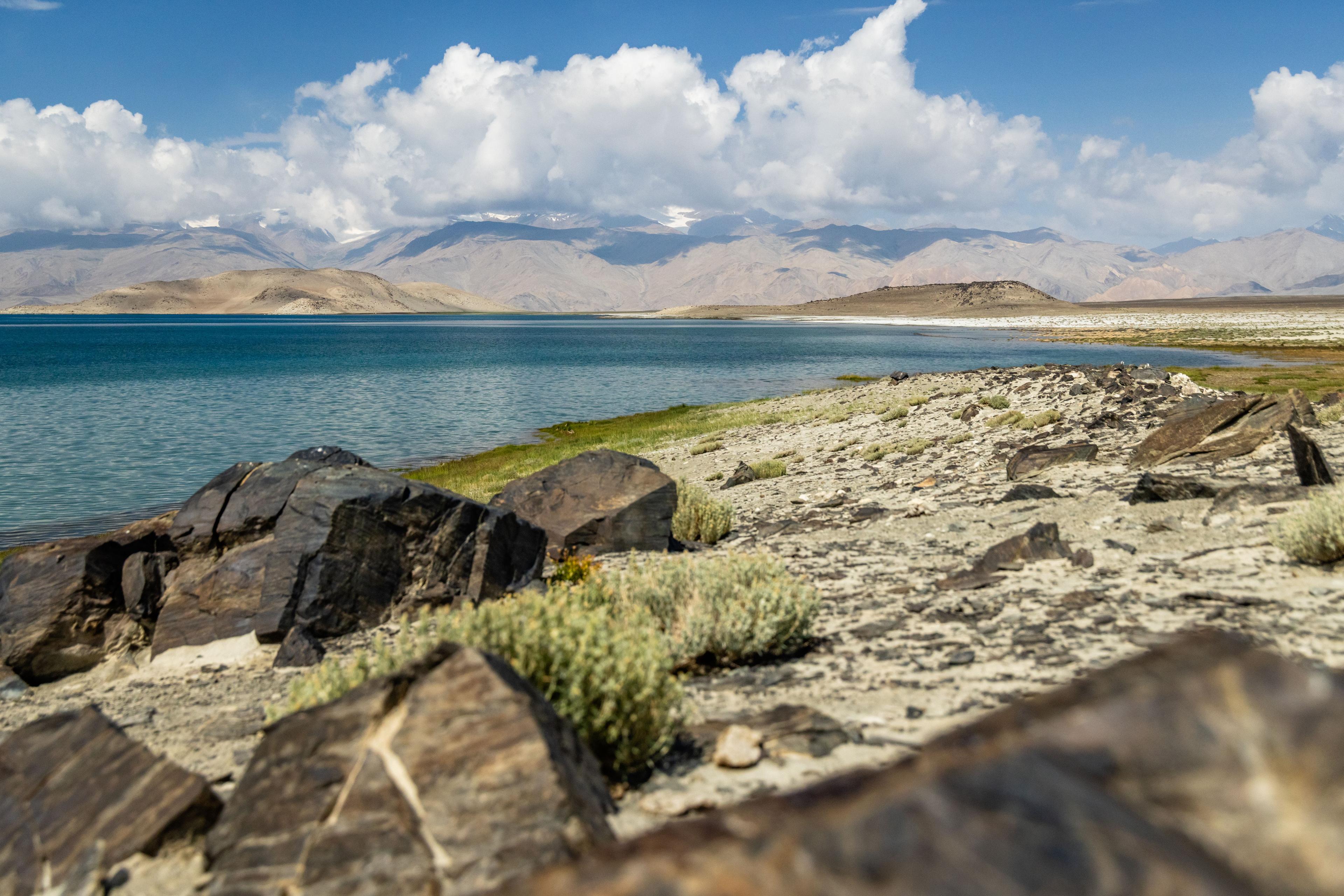
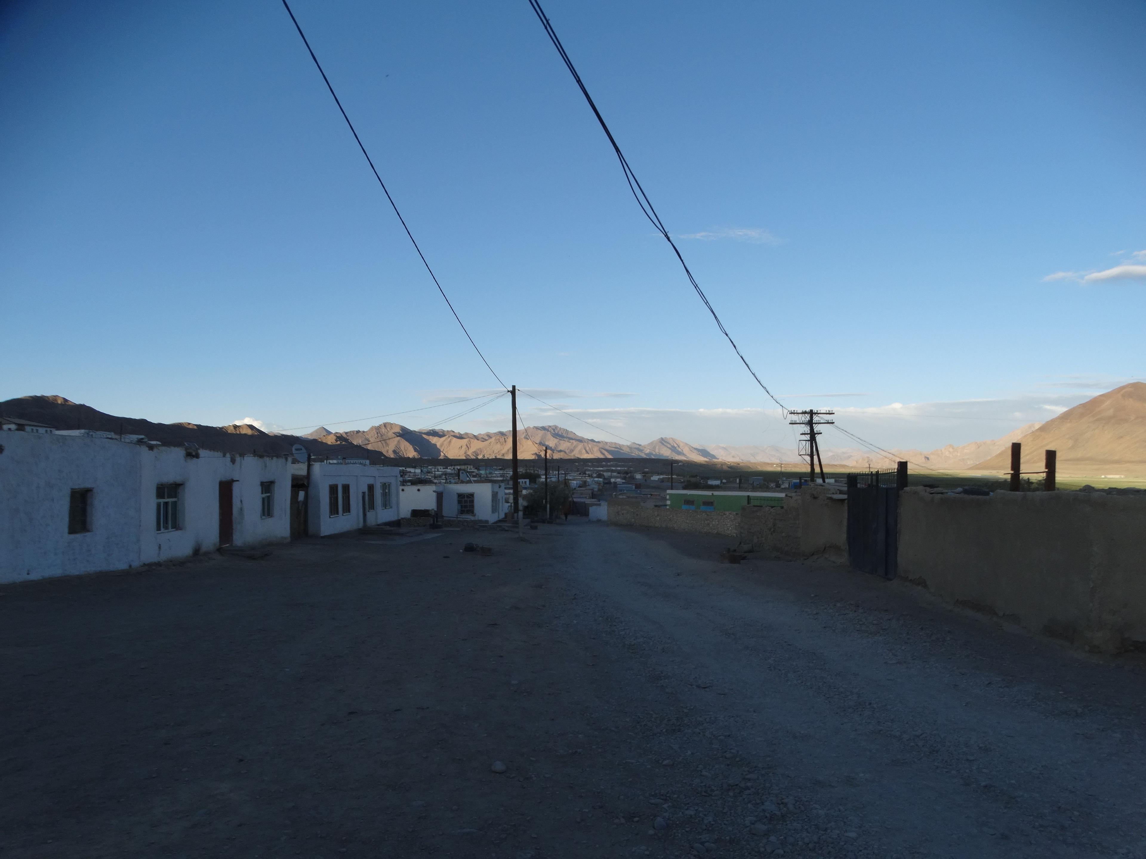
- The eastern Pamir: a cold, treeless plateau above 3,500 metres, grazed by Kyrgyz herders' yaks. Murghab, at about 3,600 metres, is the main settlement; north of it the road crosses the Ak-Baital pass at 4,655 metres, the highest point, and descends to Karakul, a large salt lake in a basin thought to be an ancient impact crater.
- Into Kyrgyzstan: over the Kyzyl-Art pass, at about 4,280 metres, to Sary-Tash and down through the Alay valley to Osh.
Practicalities
You need a GBAO permit in addition to your Tajik visa; it is usually requested with the e-visa. The driving season is roughly June to September; outside it, passes can close and temperatures on the plateau fall far below freezing. Altitude is the main health concern: ascend gradually, sleeping lower in the Wakhan before going up to Murghab. Accommodation is mainly in family homestays and simple guesthouses, with a few better hotels in Khorog. A 4x4 with an experienced local driver is strongly recommended.
Planning
Allow at least 7–10 days from Dushanbe to Osh, longer with the Bartang valley or trekking. The highway pairs naturally with a Uzbekistan trip: start in Samarkand, cross to Penjikent and the Fann Mountains, drive the Pamirs, and return via Osh and the Dostuk border into the Fergana valley.
What to see
- Driving beside the Panj river with Afghanistan on the opposite bank
- Khorog and its high-altitude botanical garden
- The Wakhan valley detour with Hindu Kush views
- Murghab and the yak pastures of the eastern Pamir
- Ak-Baital pass at 4,655 metres
- Karakul lake and the Kyzyl-Art pass to Kyrgyzstan
Gallery
More sights in Tajikistan
All of Tajikistan
See Pamir Highway with a local guide
We build private and small-group trips around the places you want to see — with guides who grew up here.