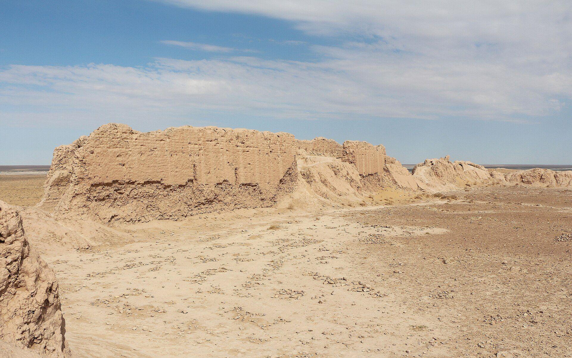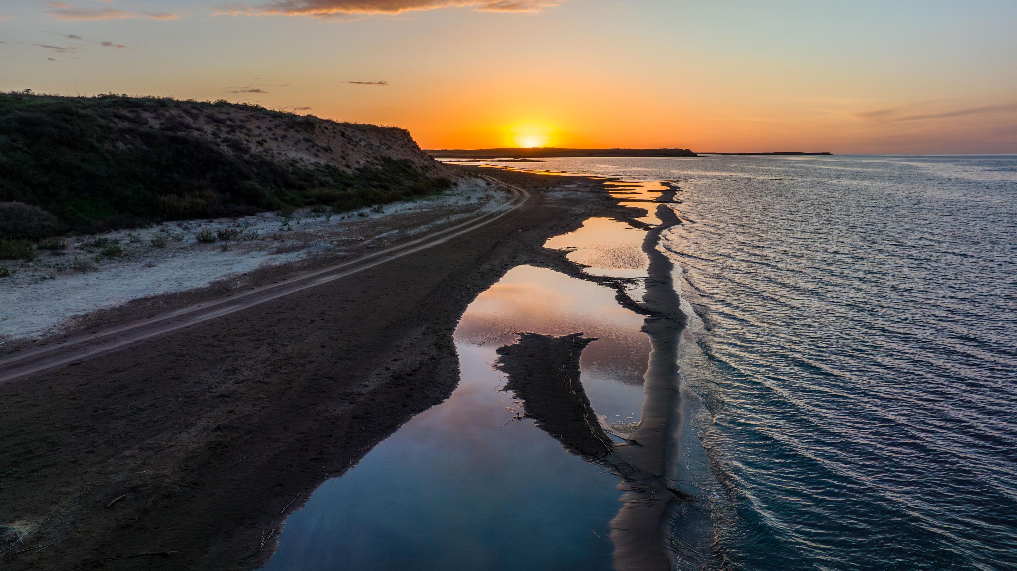
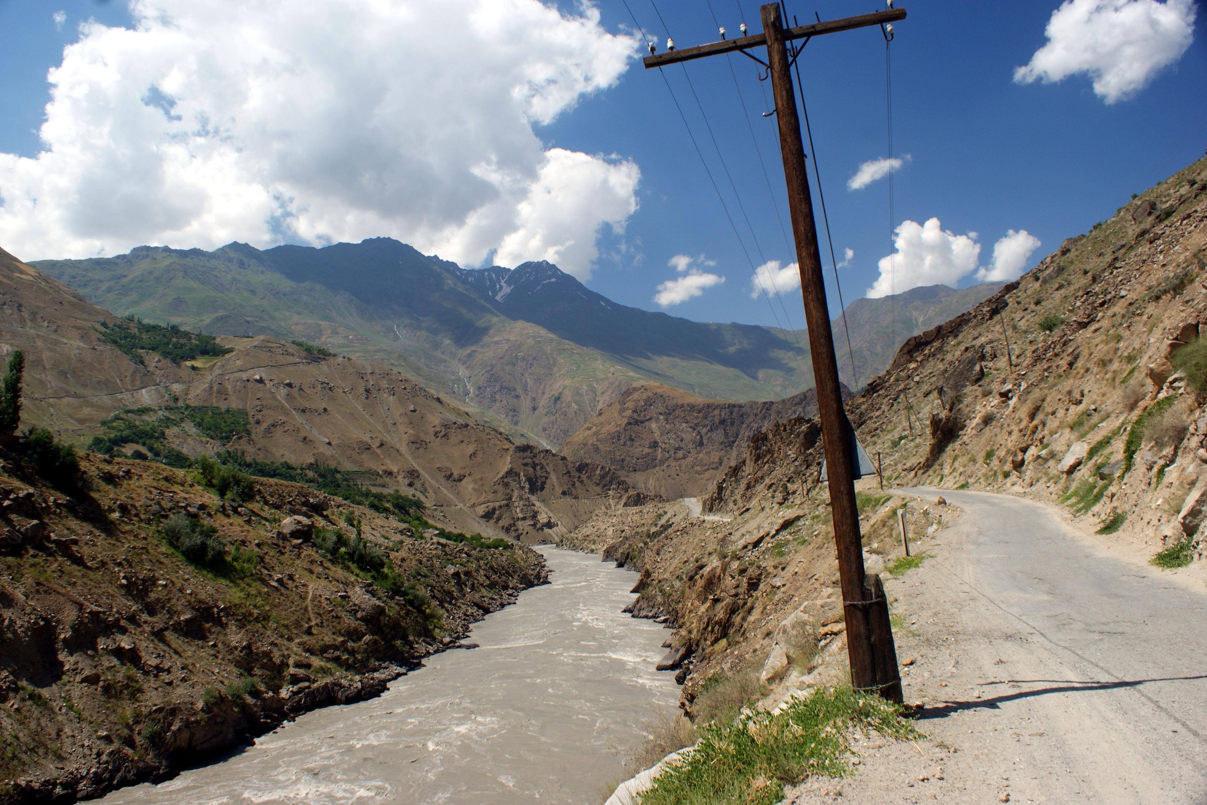
The Pamir Highway from Dushanbe via Khorog and Murghab to Osh is one of the world's great road journeys. How to combine it with Uzbekistan: the route, the GBAO permit, the season, border links via Termez and the Fergana Valley, costs, safety and a three-week itinerary.
Facts, prices and schedules checked on November 4, 2026
The Pamir Highway is the road trip people dream about when they think of Central Asia: a ribbon of asphalt and gravel running for over 1,200 km from Dushanbe, along the Afghan border, over passes above 4,000 metres and across the high plateau of the eastern Pamirs to Osh in Kyrgyzstan. Combined with Uzbekistan, it makes one of the most varied journeys in Asia, from the tiled madrasahs of Samarkand and Bukhara to yak pastures and turquoise lakes on the roof of the world.
This guide is for travellers who want to combine the Pamir Highway with Uzbekistan, as of November 2026. It covers the route from Dushanbe to Khorog, Murghab and Osh, the GBAO permit, the season, how to link the Pamirs with Uzbekistan through Termez or the Fergana Valley, costs, safety and a sample three-week itinerary.
To be clear about our role: TourEast is an Uzbekistan tour operator. We do not run tours in Tajikistan or Kyrgyzstan and we do not organise Pamir Highway trips. We arrange the Uzbek part of the journey and the transfers to and from the Tajik and Kyrgyz borders, and we are glad to share what we know. For the Pamir section itself, book a licensed Tajik or Kyrgyz operator, or a driver recommended by them.
What is the Pamir Highway?
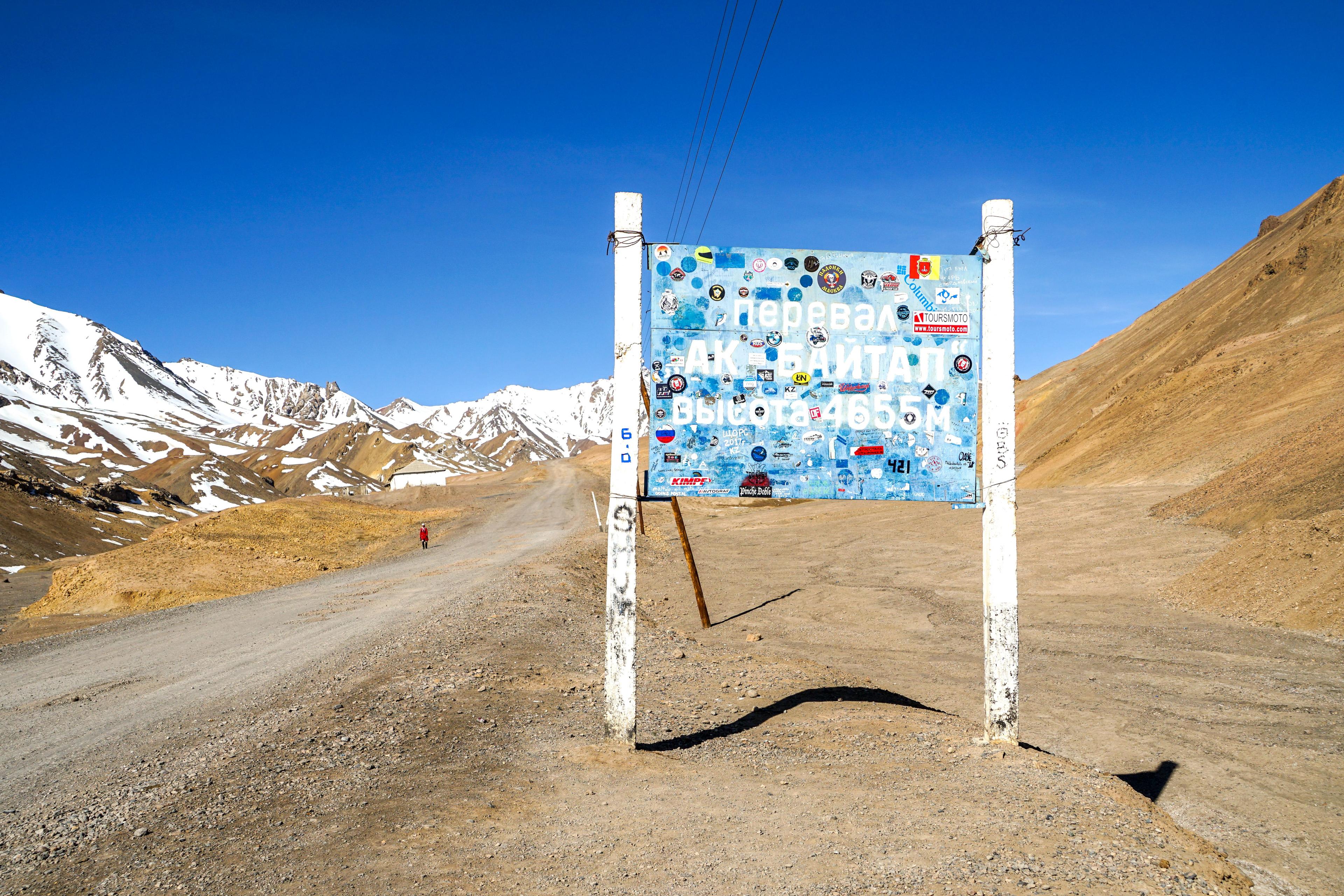
The Pamir Highway is the common name for the M41 road through the Gorno-Badakhshan Autonomous Region (GBAO) of Tajikistan. Built in Soviet times on older caravan and military routes, it is about 1,250 km long from Dushanbe to Osh, and its highest point, the Ak-Baital pass, reaches 4,655 metres. That makes it one of the highest international roads in the world.
The route falls into three very different parts:
- The Panj valley. From Dushanbe the road reaches the Panj river, which forms the border with Afghanistan, and follows it for hundreds of kilometres through deep gorges to Khorog. Afghan villages are often a stone's throw away across the water.
- The eastern Pamir plateau. Beyond Khorog the road climbs onto a high, almost treeless plateau at 3,500 to 4,500 metres, with wide valleys, salt lakes, yurts and the town of Murghab.
- The descent to Osh. North of Murghab the road passes Lake Karakul, crosses into Kyrgyzstan at the Kyzyl-Art pass and drops through the Alay valley, below the Pamir peaks, to Osh.
Many travellers add the Wakhan valley, a southern loop along the Afghan border between Ishkashim and Langar, with Buddhist stupas, ancient fortresses and hot springs, and views of the Hindu Kush. It rejoins the main road near Alichur.
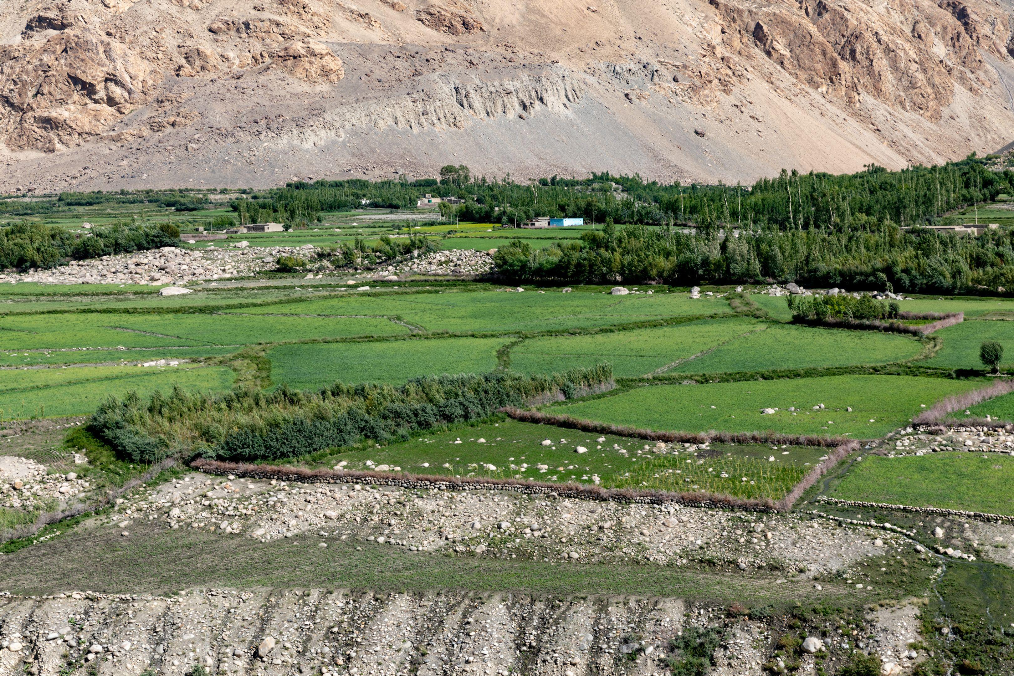
Dushanbe to Osh: the route stage by stage
Distances and times are approximate and depend heavily on road works, weather and how often you stop.
- Dushanbe to Khorog: there are two roads. The southern route via Kulob is longer but mostly paved; the northern route via Tavildara crosses a high pass and is shorter but rougher and usually open only in the warmer months. Either way, expect 12 to 16 hours of driving, so most travellers split it with a night in Kalaikhum on the Panj.
- Khorog: the capital of GBAO, at about 2,100 metres, with a botanical garden, a market and the best choice of guesthouses on the route. A natural rest day.
- Khorog to Murghab: about 310 km on the M41 via Alichur, one long day. Alternatively, take two or three days through the Wakhan valley.
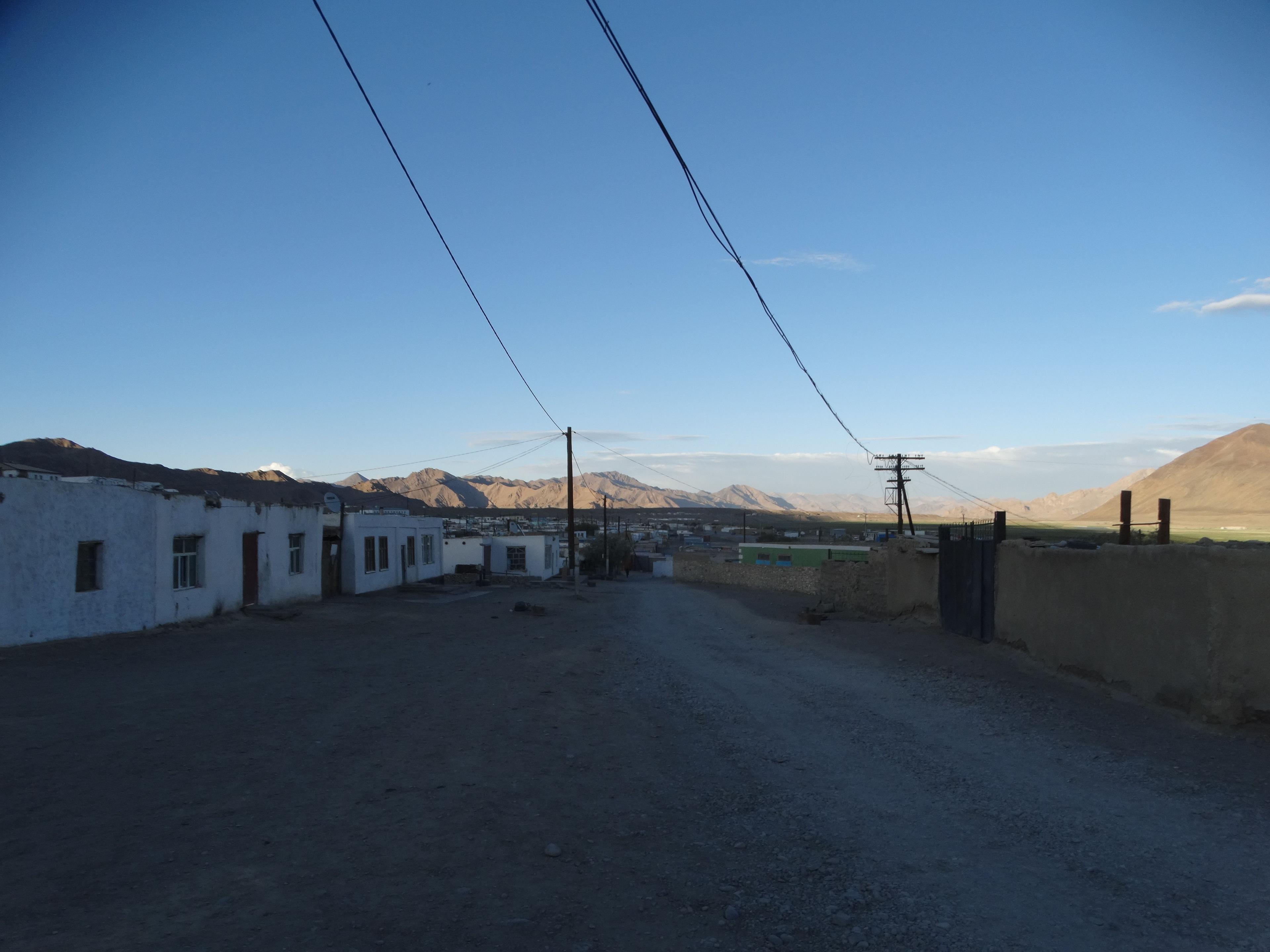
- Murghab: a high, windswept town at about 3,600 metres, with a container bazaar and simple homestays. A base for side trips onto the plateau.
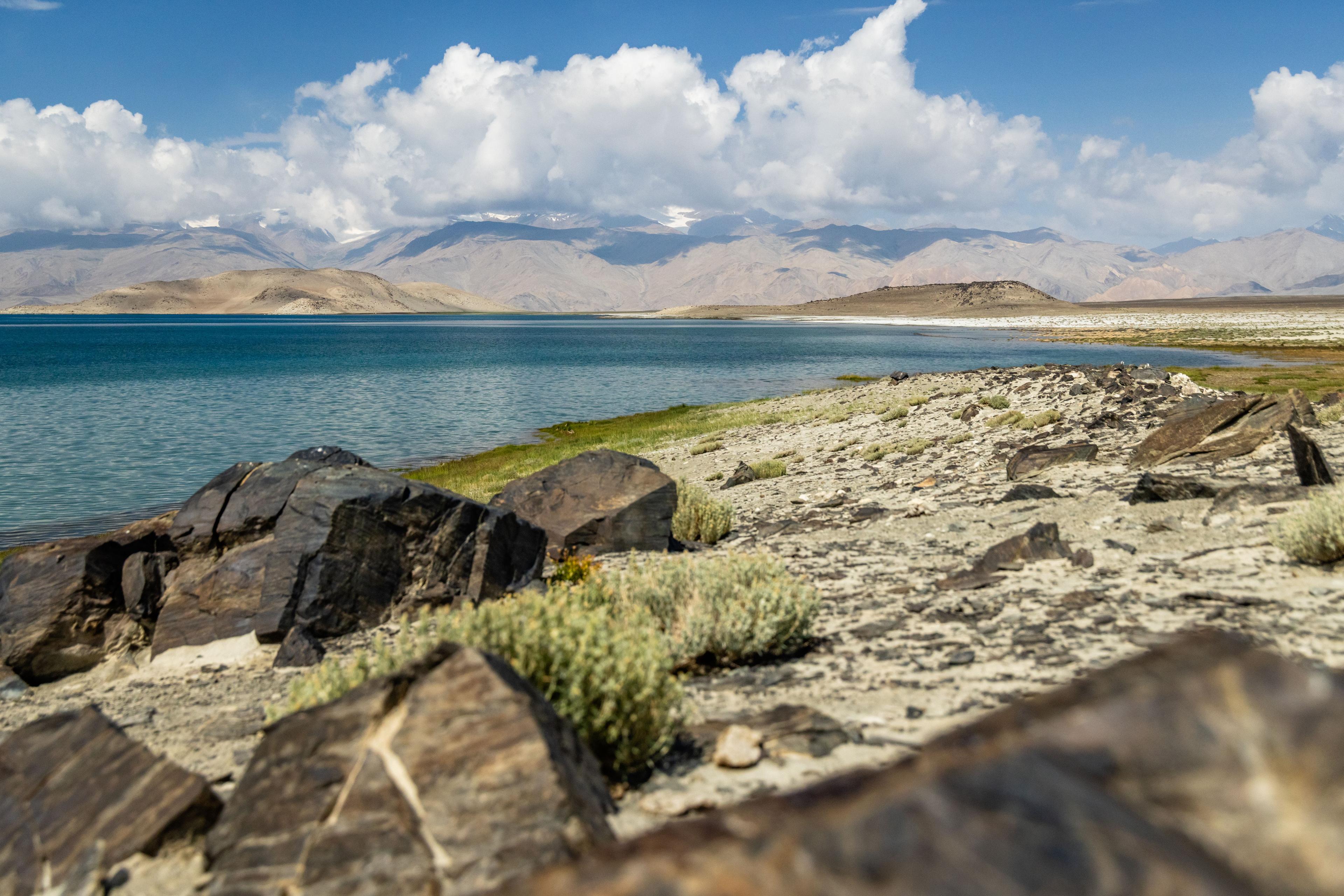
- Murghab to Karakul: the road climbs over the Ak-Baital pass to Lake Karakul, a vast lake at about 3,900 metres formed in a meteorite crater, according to most geologists.
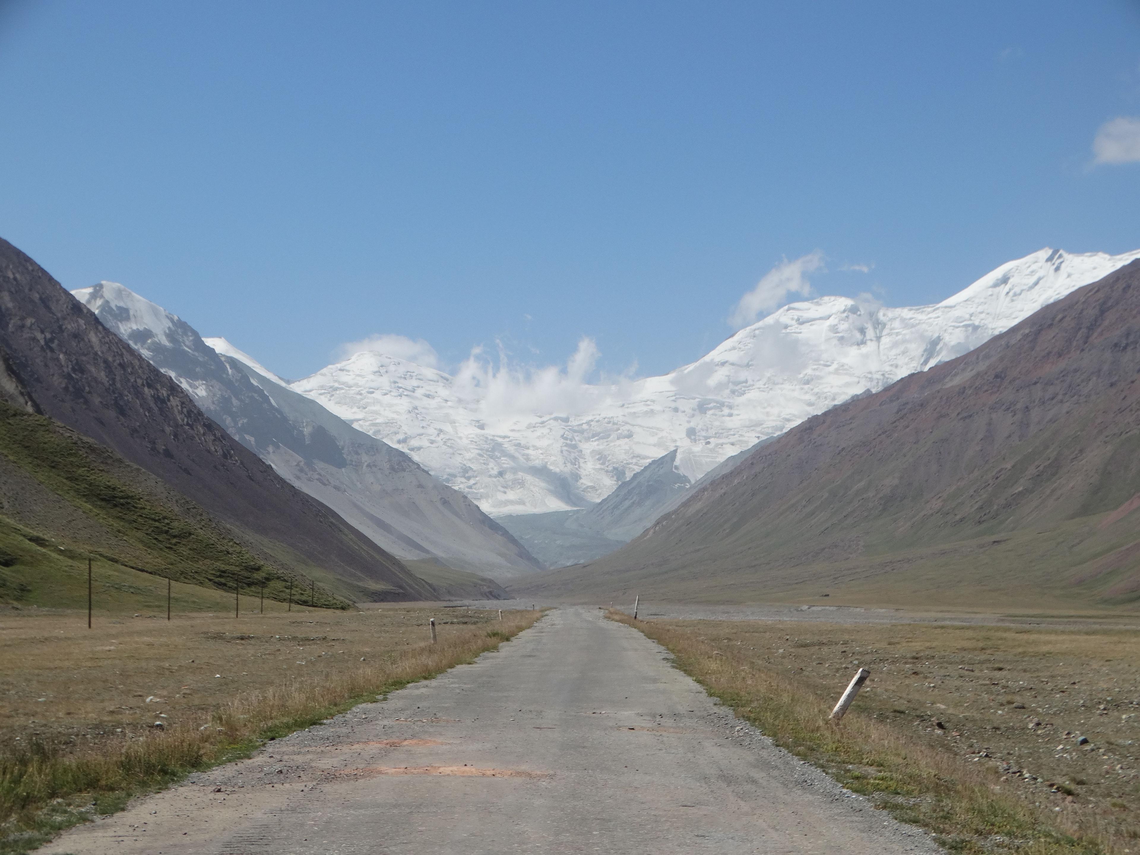
- Karakul to Osh: over the Kyzyl-Art pass (about 4,250 metres) into Kyrgyzstan, then via Sary-Tash, where Peak Lenin dominates the horizon on a clear day, and down to Osh. Murghab to Sary-Tash is about 227 km.
Most people need 8 to 12 days for the whole route, more if they add the Wakhan, the Bartang valley or walks.
The GBAO permit and visas
Gorno-Badakhshan is a special zone. In addition to your visa or visa-free entry to Tajikistan, you need a GBAO permit, which is checked at police and military posts along the road. As of November 2026:
- The easiest way to get it is to tick the GBAO option when applying for a Tajik e-visa at the official portal evisa.tj. The permit costs an extra 20 USD on top of the e-visa (30 USD single entry, 50 USD multiple entry). Allow at least two weeks.
- Travellers who can enter Tajikistan visa-free, including citizens of the EU, the US and Japan, still need the permit. Many simply apply for the e-visa anyway to get both together; the permit can also be obtained through a Tajik agency or the OVIR office in Dushanbe.
- If you enter Tajikistan without an e-visa and stay longer than 10 days, you must register in person with OVIR. A full Pamir trip easily exceeds 10 days, which is another reason to use the e-visa.
- Lake Sarez and Zorkul need further permits beyond the standard GBAO permit.
- UK citizens need a visa for Tajikistan according to UK government advice.
For the Kyrgyz end, citizens of around 55 countries, including the US, UK and EU, can stay visa-free for up to 30 days within any 60-day period since January 2026. Our Central Asia visa guide covers all five countries. Confirm your own case on the official portals before you travel.
Best time to drive the Pamir Highway
The Pamir Highway has a short season.
- July to September: the main season. High passes are usually clear of snow, homestays are open, and days on the plateau are sunny and mild, though nights are cold at Murghab and Karakul.
- June and early October: possible, but snow and rockfall can close passes, rivers run high in June, and some homestays are not yet open or have already closed.
- November to April: harsh winter on the plateau, with temperatures far below freezing. Not recommended for travellers.
The timing fits Uzbekistan well, if you plan the order. July and August are the hottest months in Bukhara and Khiva, so it makes sense to do the Uzbek cities in late May and June or in September, before or after the Pamirs. A September trip, Pamirs first and Silk Road cities second, catches both at their best. Our guide to the weather in Uzbekistan by month has the details for the Uzbek half.
How to link the Pamir Highway with Uzbekistan
The Pamir Highway runs between Dushanbe and Osh, and both ends connect easily with Uzbekistan. That makes a one-way loop the most natural plan: start in Uzbekistan, cross into Tajikistan, drive the highway, and come back to Uzbekistan from Kyrgyzstan through the Fergana Valley, or the reverse.
Into Tajikistan from southern Uzbekistan:
- Termez to Dushanbe via the Sariosiyo crossing near Denau: Sariosiyo is about 120 km north-east of Termez, and Dushanbe about 70 km beyond the border. Allow four to six hours including the crossing. A good route if you want to see the Buddhist sites of Termez first.
- Samarkand to Dushanbe via the Jartepa crossing and Penjikent: about five hours from Penjikent to Dushanbe through the Zarafshan valley and the Anzob tunnel, with a possible stop at the Seven Lakes or Iskanderkul.
- Tashkent to Dushanbe: flights take about an hour, and since February 2026 a state-run bus has linked the two capitals via Sariosiyo.
Back to Uzbekistan from Osh:
- Osh to Andijan via the Dostuk (Dustlik) crossing, which travellers report as open around the clock. Andijan is about an hour's drive from Osh.
- From Andijan, continue through the Fergana Valley to Margilan, Rishtan and Kokand, then over the Kamchik Pass to Tashkent, or take the train from Andijan to Tashkent in around five to six hours.
- Direct flights also link Osh and Tashkent.
Our guides to Uzbekistan's border crossings, to Tajikistan and to Kyrgyzstan cover each crossing in more detail.
A three-week Uzbekistan and Pamir Highway itinerary
This plan runs west to east, which helps with altitude: you climb gradually from the Panj valley to the plateau rather than jumping straight up from Osh.
- Day 1: Arrive in Tashkent. Old town, Chorsu Bazaar and the metro.
- Days 2 to 3: Afrosiyob train to Samarkand: the Registan, Shah-i-Zinda and Gur-e-Amir.
- Days 4 to 5: Bukhara: the Ark Fortress, Po-i-Kalyan and the trading domes.
- Day 6: Fly or drive to Termez: Fayaz Tepa, Kara Tepa and the archaeological museum.
- Day 7: Cross at Sariosiyo to Dushanbe.
- Days 8 to 9: Dushanbe to Kalaikhum and on along the Panj to Khorog.
- Day 10: Rest day in Khorog.
- Days 11 to 13: The Wakhan valley via Ishkashim and Langar, then up to Alichur.
- Day 14: Alichur to Murghab.
- Day 15: Over the Ak-Baital pass to Karakul.
- Day 16: Kyzyl-Art pass to Sary-Tash and down to Osh.
- Day 17: Osh: Sulaiman-Too and the Jayma Bazaar.
- Day 18: Cross at Dostuk to Andijan and on to Fergana or Margilan.
- Day 19: The Fergana Valley: silk in Margilan, ceramics in Rishtan, Kokand.
- Day 20: Over the Kamchik Pass to Tashkent.
- Day 21: Depart.
Short on time? Leave out Termez and enter Tajikistan by flying from Tashkent to Dushanbe, or end the trip with a flight from Osh. To go the other way, start in the Fergana Valley and finish in Bukhara and Samarkand, but allow an extra night or two around Sary-Tash or Karakul to acclimatise.
How much does the Pamir Highway cost?
Transport is the big cost, because most travellers hire a four-wheel-drive vehicle with a driver for the whole route. Typical prices in 2026:
- A 4x4 with driver for 8 to 11 days, Dushanbe to Osh or the reverse: commonly quoted at about US$1,500 to 2,000 per vehicle, including fuel and the driver's costs but not your accommodation and meals. Split between three or four passengers, it becomes much more affordable. Agencies in Dushanbe, Khorog and Osh often quote less than online booking sites.
- Self-drive rental: Land Cruisers and similar vehicles from Osh cost around US$140 to 150 a day, plus fees and mileage limits. Only for experienced off-road drivers.
- Small-group tours: advertised from several hundred to around 2,000 dollars per person, depending on the length, group size and what is included.
- Homestays and guesthouses: simple and inexpensive, usually including dinner and breakfast. Ask your Tajik operator for current prices.
- Permits: the GBAO permit adds 20 USD to the e-visa fee.
Bring enough cash. ATMs exist in Dushanbe, Khorog and Osh, but along most of the route cards are useless and there are no cash machines. Carry Tajik somoni, Kyrgyz som and some US dollars in clean notes. For the Uzbek part, see our guide to Uzbekistan travel costs.
Is the Pamir Highway safe?
The Pamir Highway is travelled by thousands of tourists every summer, but it is a remote, high-altitude route in a region with a complicated security picture. Read your government's travel advice before you book. As of November 2026, the UK Foreign Office's advice for Tajikistan, updated in August 2026, includes these points:
- Armed clashes involving terrorist or criminal groups may occur without notice near the border with Afghanistan. In November 2025 five Chinese nationals were killed in two cross-border attacks, and in August 2026 a local resident was killed by a stray bullet in Darvoz, on the Panj.
- There is a risk of civil unrest in Khorog and other towns in GBAO, where violent clashes have taken place since 2022.
- Along the Afghan border there are marked and unmarked minefields: do not walk off the road.
- Since the Tajik-Kyrgyz border agreement of 2025, the UK advice reports no further clashes on that border, and the Kyzyl-Art crossing has reopened to foreign travellers since July 2025.
Practical risks are just as important. Altitude sickness is the most common problem: climb slowly, drink plenty of water and descend if symptoms get worse. Roads are rough, landslides happen, and medical care is basic and far away. Travel insurance that covers high altitude and evacuation is essential. Border sections can close at short notice, so travel with a flexible schedule and an operator who follows the local news.
Practical tips for the road
- Pack for all seasons. Midday sun on the plateau is fierce, but nights at Murghab and Karakul can drop below freezing even in August.
- Carry your passport, e-visa and GBAO permit printouts. Checkpoints copy details by hand and phones run out of battery.
- Mobile data is patchy. Buy a Tajik SIM in Dushanbe or Khorog, and download offline maps.
- Food is simple: bread, soup, plov, noodles, yoghurt and plenty of tea. Bring snacks, dried fruit and electrolyte sachets.
- Respect local customs. The Pamiri people of the western valleys are mostly Ismaili Muslims, and the Kyrgyz of the plateau are herders with their own traditions. Ask before photographing people.
- Leave the drone at home unless you have permission in each country.
- Start the Uzbek part of your trip with comfortable hotels and short train journeys, and use it to rest before or after the road.
Planning the Uzbek side with TourEast
We arrange the Uzbekistan part of a Pamir journey: Samarkand, Bukhara, Termez and the Fergana Valley as a private or small-group itinerary, transfers to the Sariosiyo, Jartepa or Dostuk crossings, and the Afrosiyob trains and domestic flights in between. Tell us your dates for the Pamirs and we will build the Uzbek leg around them.