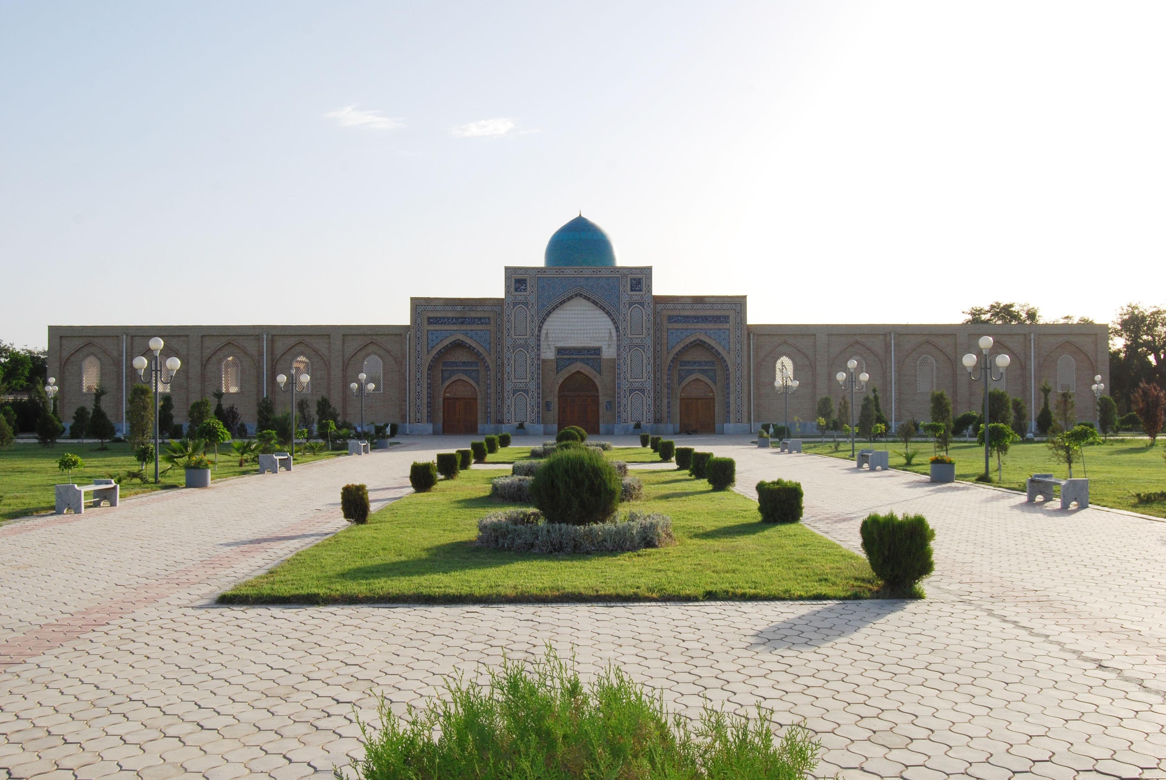
Timur's home province south of Samarkand: Shakhrisabz and the Ak-Saray, the Shaybanid bridge of Karshi, the Sufi shrine village of Langar, the Maidanak observatory, the Kitab geopark and the Hisar mountain villages. Distances, roads, seasons and routes.
Facts, prices and schedules checked on November 11, 2026
Most visitors meet Kashkadarya for six hours. They cross the Takhtakaracha pass from Samarkand, stand under the broken arch of the Ak-Saray in Shakhrisabz, eat lunch and drive back. That is a fine day, and we arrange it often for private guests. But Shakhrisabz is only the front door of a province the size of Belgium, and the rest of it is where the Uzbekistan of guidebooks gives way to something less rehearsed: a Shaybanid bridge still carrying people across a river, a Sufi mosque on a hill whose Quran is among the oldest in the world, silver telescope domes on a ridge at 2,650 m, and Tajik-speaking villages in the Hisar range that foreigners could not visit before 2018.
Kashkadarya is more than Shakhrisabz: here is what each place is, how the roads connect them, how long to allow, and which seasons work. For the classic Shakhrisabz day itself, our Shakhrisabz day trip guide goes into more detail.
Kashkadarya at a glance
Kashkadarya (Qashqadaryo in Uzbek) covers about 28,600 km² of southern Uzbekistan and has around 3.5 million people. It is shaped like a tilted bowl. In the north the Zarafshan range separates it from Samarkand; in the east the Hisar range climbs above 4,000 m along the Tajik border; in the west the Kashkadarya river runs out into the flat Karshi steppe towards Turkmenistan and the Kyzylkum.
For a traveller this means three different landscapes within a few hours of each other:
- The Timurid towns: Shakhrisabz and Kitab in the green upper valley, the birthplace of Amir Timur in 1336.
- The steppe capital: Karshi, the regional centre, on the old road west to Bukhara.
- The mountains: Langar and Maidanak in the southern foothills, and the Hisar highlands around Miraki, the Hisorak reservoir and Gelon in the east.
The region is also Uzbekistan's natural bypass. The road from Samarkand to Bukhara through Shakhrisabz and Karshi is about 380 km, against roughly 270 km on the direct highway, and it turns a transfer into a day of sightseeing.

Shakhrisabz: the front door
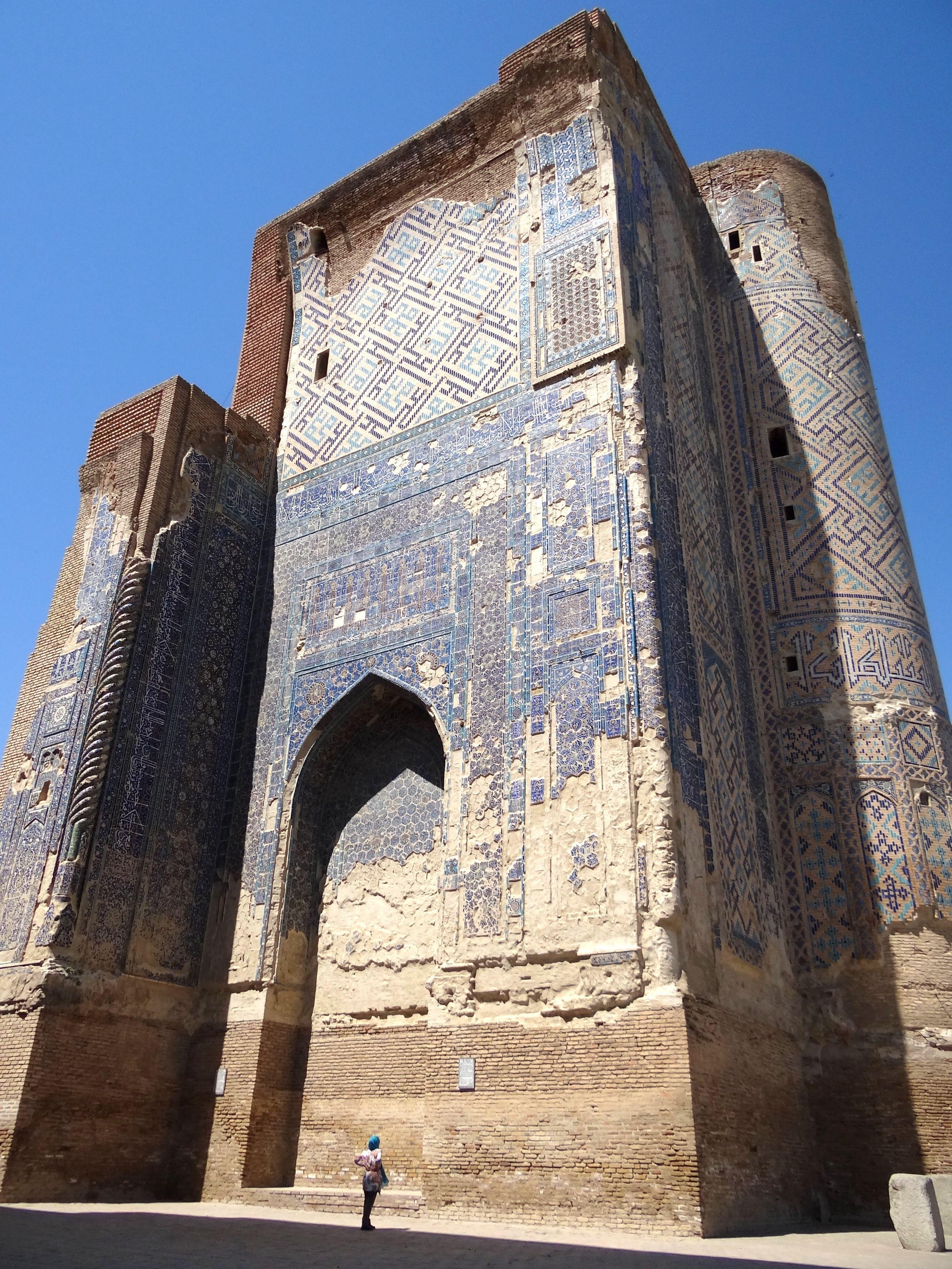
Shakhrisabz, ancient Kesh, was Timur's home town, and he meant it to outshine Samarkand. The Ak-Saray Palace, begun in 1380, survives as the two stumps of a portal that is believed to have stood about 65 m high; even ruined it is one of the largest structures of its age in Central Asia. A short walk south, the Dorut Tilavat ensemble holds the Kok Gumbaz Friday mosque built by Ulugbek, and the Dorus Saodat holds the tomb of Timur's eldest son Jahangir and the empty crypt Timur prepared for himself before he was buried in Samarkand instead.
The Historic Centre of Shakhrisabz was inscribed by UNESCO in 2000 and placed on the List of World Heritage in Danger in 2016, after a redevelopment cleared much of the old residential quarter between the monuments for a park. Two to three hours cover the main sites; stay overnight if you are heading further into the region, since everything else in this guide starts from here.
The Takhtakaracha pass and the Kitab geopark
The road from Samarkand crosses the Zarafshan range at the Takhtakaracha pass, at about 1,700 m, the route the Castilian envoy Clavijo took to Timur's court in 1404. Stop at the top for the view over two valleys; in April and May the slopes are red with poppies and there are stalls selling honey and dried fruit. On the Samarkand side the Amankutan valley has walnut groves and a cave where Neanderthal tools were found.
South of the pass, about 50 km from Shakhrisabz, the Kitab State Geological Reserve (now the Kitab Geopark) protects limestone gorges that expose an almost unbroken sequence of Devonian and Carboniferous seabeds. In the Zinzilban gorge geologists fixed one of the world's few dozen official reference points, a so-called golden spike, for a boundary within the Devonian period. A guided walk in the gorge, among layered red and grey cliffs, takes half a day from Shakhrisabz. Arrange it in advance through the reserve; the last stretch of road is partly unpaved.
Karshi: the Shaybanid city on the Bukhara road
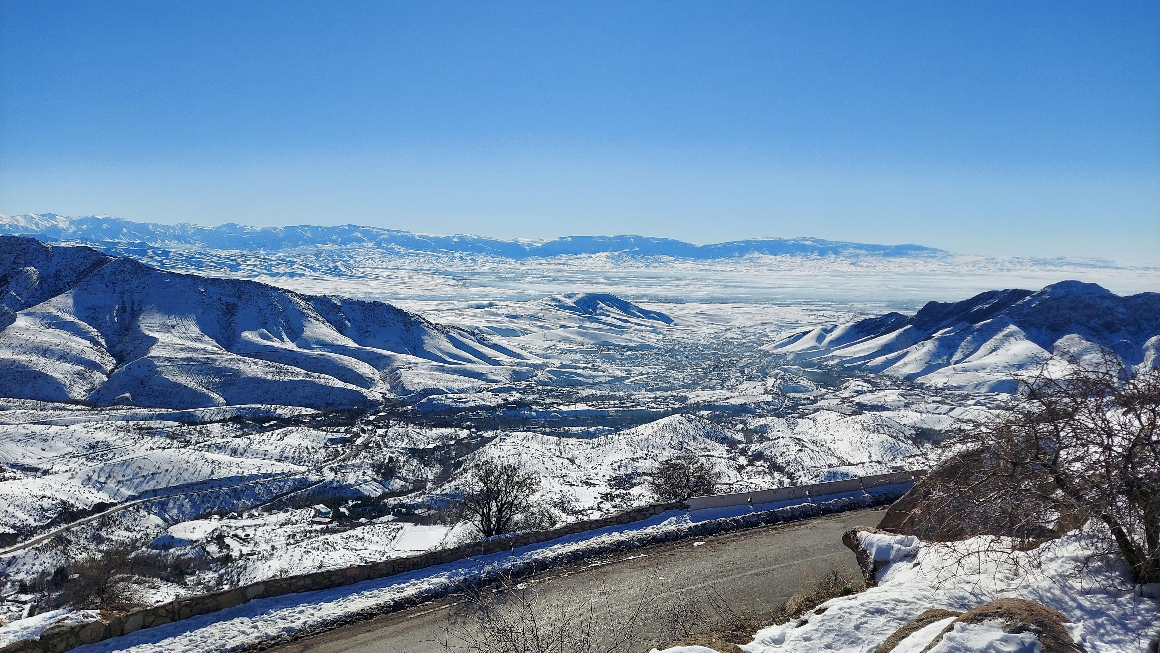
Karshi, the regional capital, is about 85 km south-west of Shakhrisabz, and almost everyone drives through it without stopping. Give it two or three hours. Its best monument is the brick bridge that Abdullah Khan II built across the Kashkadarya in 1583: 122 m long, ten pointed arches, and now a pedestrian promenade. Nearby are the Odina madrasah, described locally as the region's only madrasah founded for women and now a museum, the turquoise-domed Kok-Gumbaz Friday mosque from the late sixteenth century, and a fourteenth-century sardoba, a domed water cistern.
A few kilometres from the centre is the memorial shrine of Abu Ubayda ibn al-Jarrah, one of the Companions of the Prophet, with a minaret topped by storks' nests. Abu Ubayda died in Syria in 639 and is buried in the Jordan Valley; the Karshi complex is a maqam whose origins are explained by a legend about Timur and relics. It is one of the busiest pilgrimage sites in southern Uzbekistan, especially on Fridays. Karshi is also where to order tandir gusht, lamb slow-baked in a sealed clay oven.
Langar and Maidanak: shrine and stars
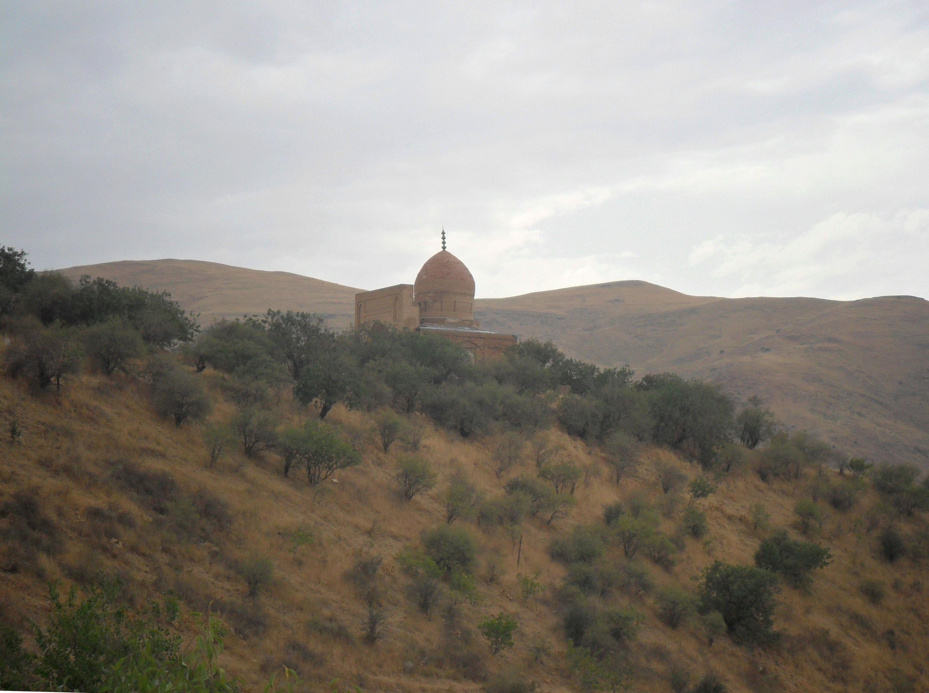
About 70 km south-east of Shakhrisabz, where the upper Kashkadarya cuts a gorge through the foothills, the village of Katta Langar climbs its slopes in terraces of adobe. On two facing hills stand the Langar-ota mosque and mausoleum, seat of the Ishqiya Sufi brotherhood from the late fifteenth century. The mosque's ceiling rests on nineteen carved wooden columns; for centuries it kept the Katta Langar Quran, written on parchment and dated by scholars to the eighth century. Most of its leaves are now in Tashkent and St Petersburg. The mosque was restored with US conservation funding and reopened in June 2025.
Above the same valley, at 2,650 m, the Maidanak observatory runs Central Asia's largest optical telescope, the 1.5-metre AZT-22, under some of the steadiest skies on the continent. It is a working research station: visits and night sessions are possible only by prior arrangement with the Ulugh Beg Astronomical Institute, and the mountain road is usually snowbound from November to April. Langar and Maidanak together make a two-day loop from Shakhrisabz.
The Hisar highlands: Miraki, Hisorak and Gelon
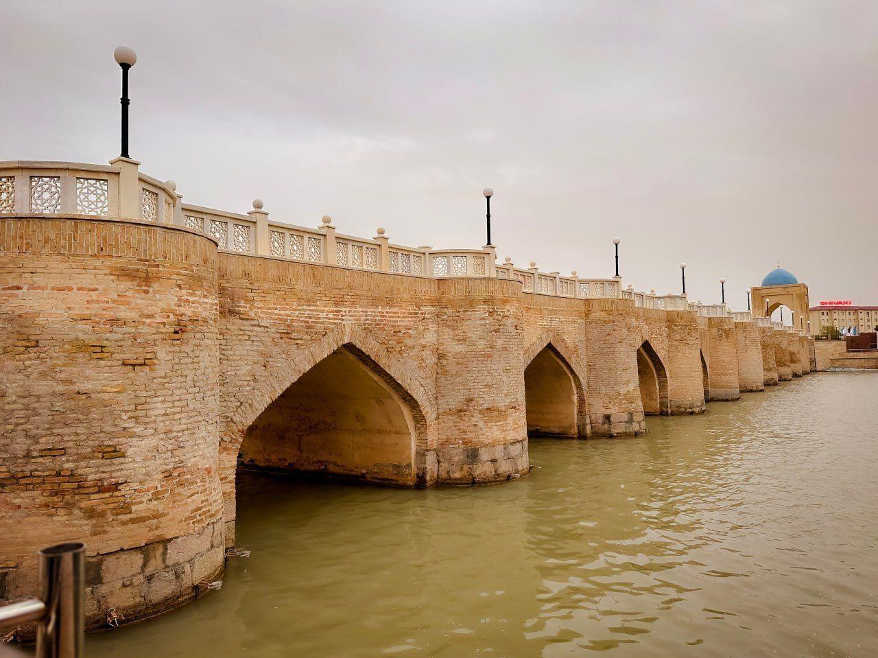
East of Shakhrisabz the Aksu valley leads into the Hisar range, where Uzbekistan's official highest peak, Khazret Sultan (4,643 m by the government survey, a figure some mountaineers dispute), stands on the Tajik border. The first stop, 30 km out, is Miraki: a resort village with more than a hundred guesthouses, a 10 km riverside eco-trail and a gondola opened in 2025. It is busy with Uzbek families at weekends. Above it lies the Hisorak reservoir, turquoise under bare ridges.
Beyond the dam the asphalt ends. About 25 km of unpaved serpentines, passable only by four-wheel drive, climb to Gelon, a village of roughly 6,000 Tajik-speaking people at 2,300 to 2,600 m, where livestock live on the ground floor and families above. In December 2024 the government approved an all-season resort zone here; the first stage has been promised for 2027, and as of November 2026 the road has not yet been rebuilt. Our Gelon guide covers the village, the homestays and where the resort project actually stands. The Hisar State Reserve beyond, with snow leopards on its camera traps and the Suvtushar waterfall, requires permits for walks.
How to get there, when to go and what it costs
Getting there. By car from Samarkand to Shakhrisabz is about 88 km over the pass, 1 hour 45 minutes; when snow closes the pass, traffic takes the longer road round through the lowlands, which adds a couple of hours. Karshi has an airport with domestic flights from Tashkent and daily trains from Tashkent and Samarkand. From Bukhara, Karshi is about 200 km and three hours by road. Inside the region you need a car and driver: there is no useful public transport to Langar, Maidanak or Gelon.
Time on the road from Shakhrisabz: Karshi 1.5 hours; Langar about 2 hours via Kamashi; Maidanak 2.5 to 3 hours by 4x4; Miraki 40 to 50 minutes; Gelon about 3 hours, the last part on a dirt mountain road.
When to go. April to June is the best season everywhere: green valleys, flowers on the pass, full rivers. September and October bring clear air, harvest in the villages and pomegranates in the lowlands. July and August are hot in Karshi and pleasant in the mountains. From November to April the high roads to Maidanak and Gelon can close for weeks.
What it costs. Monuments in Shakhrisabz and Karshi have modest entrance fees or are free; the shrines are free, with donations welcome. The real cost is the car: a private sedan with driver for the Samarkand–Shakhrisabz–Karshi–Bukhara day, or a 4x4 for the mountains, priced per vehicle. We quote these per itinerary rather than publish a fixed rate, because the route decides the price. Accommodation ranges from boutique hotels in Shakhrisabz to family homestays in Langar and Gelon, with shared bathrooms.
Three ways to plan it
- The scenic transfer (1 day). Samarkand to Bukhara by road: Takhtakaracha pass, Shakhrisabz in the morning, lunch and the bridge in Karshi, Bukhara by evening. Long, but it replaces a train ride with three towns.
- Shrine and stars (2 days). Samarkand to Shakhrisabz, then Langar for the afternoon and a night in the village or at Maidanak by arrangement, back via Kitab.
- The highlands (3 to 4 days). Shakhrisabz, Miraki and the reservoir, two nights in a Gelon homestay with a walk to the neighbouring village of Kul, then back to Samarkand or on to Bukhara via Karshi.
The thing to avoid is trying to see Langar, Maidanak and Gelon from Samarkand in single day trips: each is a long drive in a different direction.
Kashkadarya with TourEast
We are a Bukhara company, and Kashkadarya is our back road to Samarkand, which is why we know its drivers, homestays and shrine keepers. Our fixed-date programmes do not yet include the region, so we add it as a private extension. On Silk Road in Silk: Private Uzbekistan and Twelve Gates of the Silk Road we can replace the usual drive from Samarkand to Bukhara with the Shakhrisabz and Karshi road day, and 48 Hours in Samarkand extends naturally into a night in Langar or Gelon. Tell us which of the three landscapes interests you and when you travel, and we will send a route with real driving times and a price per vehicle.
Frequently asked questions
Photo gallery
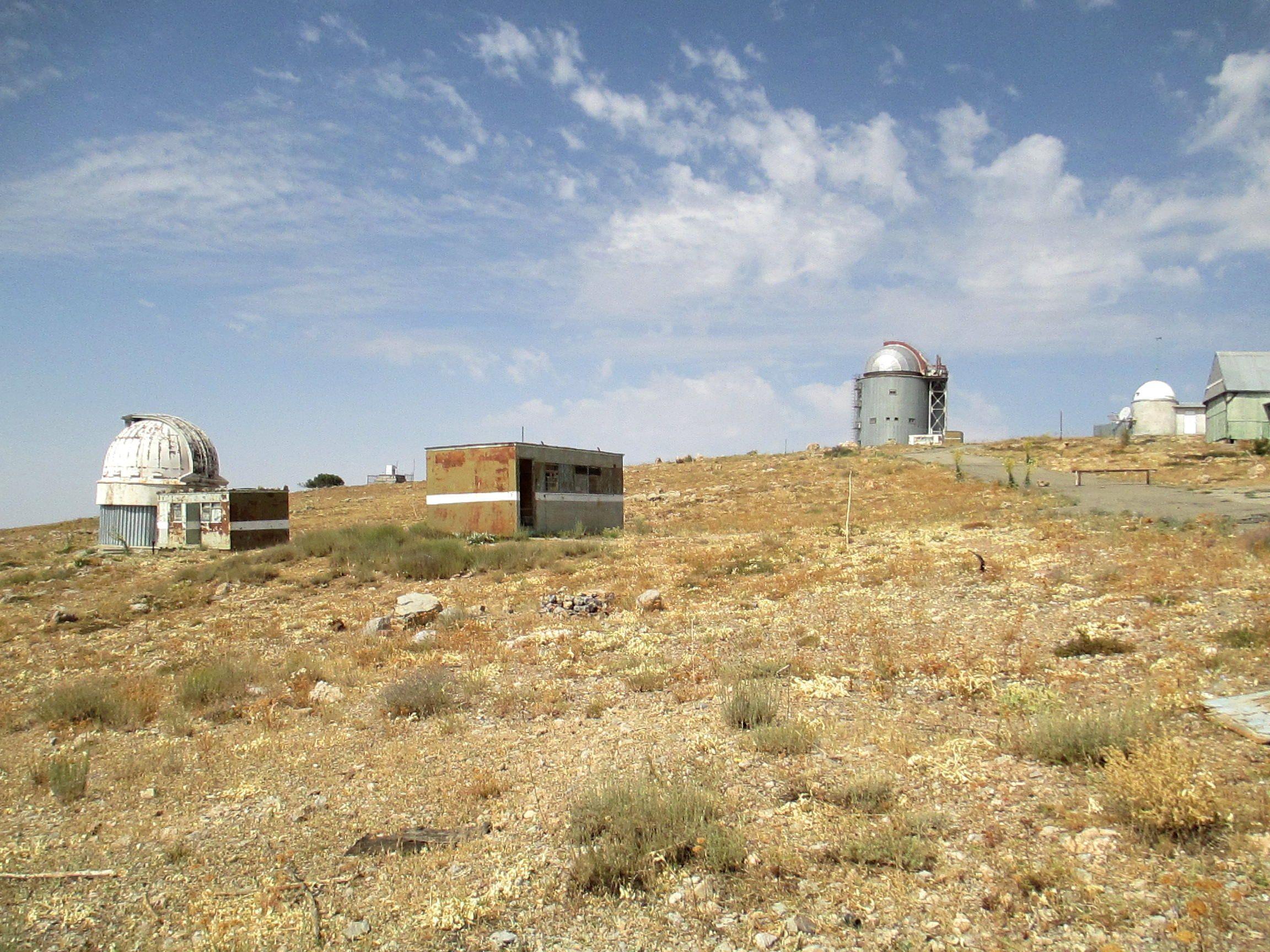
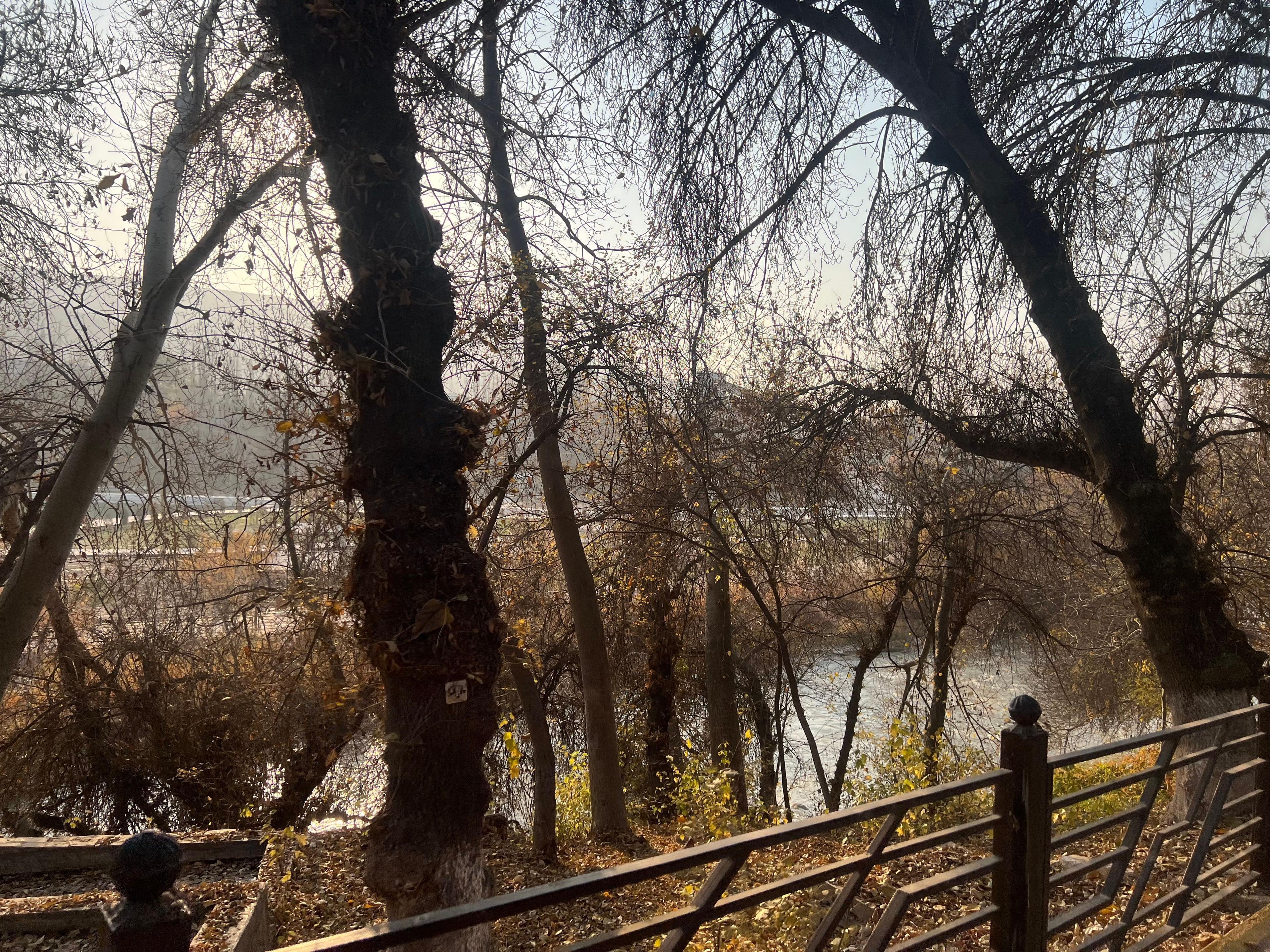
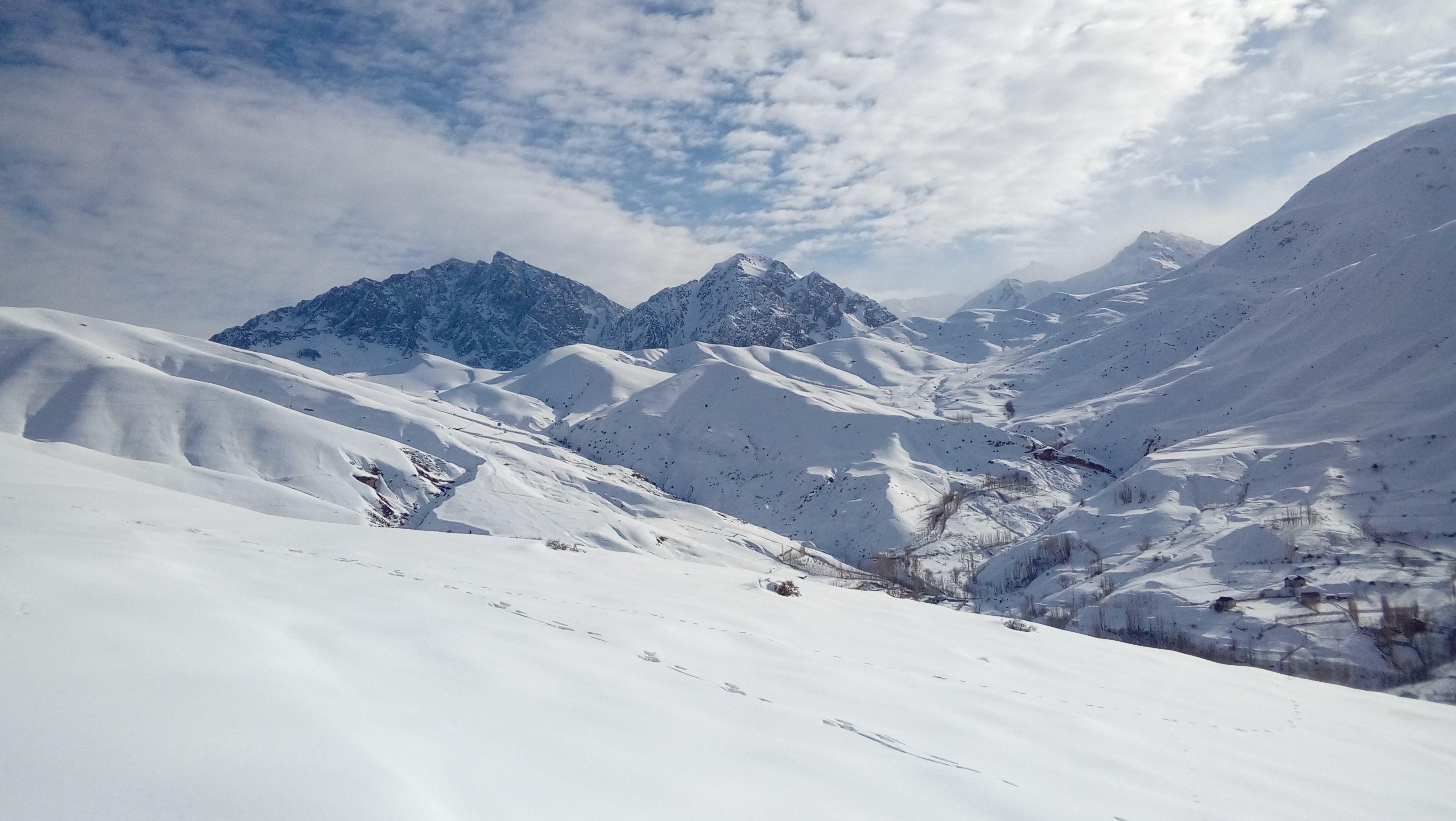
Photo: Shahnoza k / Wikimedia Commons, CC BY-SA 4.0; Kamol Azzam / Wikimedia Commons, CC0; Adam Jones from Kelowna, BC, Canada / Wikimedia Commons, CC BY-SA 2.0; German Stimban / Wikimedia Commons, CC BY-SA 4.0; German Stimban / Wikimedia Commons, CC BY-SA 3.0; MirfayzbekAbdullayev / Wikimedia Commons, CC0; Akobirolmasov diplomat / Wikimedia Commons, CC BY-SA 4.0