Hiking in Uzbekistan goes far beyond the Silk Road cities. Where to walk in the Ugam-Chatkal mountains, Big Chimgan, Pskem, the Nuratau villages, Zaamin and the Baysun range, plus seasons, permits, guides, safety and gear for 2026.
Facts, prices and schedules checked on November 4, 2026
Hiking in Uzbekistan surprises most people. The country is known for blue domes and desert cities, yet its eastern and southern edges are mountain country: the Western Tian Shan above Tashkent, the Turkestan range on the Tajik border, the Nuratau ridge in the middle of the Kyzylkum and the Baysun mountains in the far south. Peaks rise past 4,000 metres, and many valleys see more shepherds than hikers.
This guide is for travellers who want to add a few days of walking to a Silk Road trip, or plan a trip around the mountains. We cover the main hiking areas, from easy village walks to serious summit days, plus the best season, border-zone permits, guides, safety and the gear you need, as of November 2026.
Is Uzbekistan good for hiking?
Yes, with the right expectations. Uzbekistan is not Nepal or Kyrgyzstan: there are few marked trails, few mountain huts and almost no trail signs in English. In return you get quiet valleys, juniper forests, walnut groves, flower meadows in spring and village hospitality that is still real.
What makes hiking here different:
- Short distances. The best-known mountains are 1.5 to 3 hours by road from Tashkent or Samarkand, so a walking day fits easily into a city itinerary.
- Day hikes rather than hut-to-hut treks. Most visitors walk from a base (a resort, guesthouse or homestay) and return each night. Multi-day treks with tents exist, but they need a guide and logistics.
- Border zones. Several of the most spectacular ranges run along the borders with Kyrgyzstan, Tajikistan and Afghanistan. Some areas need a permit, and the rules change. More on this below.
- Heat. Lowland Uzbekistan is very hot in July and August, so timing and altitude matter more than in Europe.
If you want a long wilderness trek of a week or more, neighbouring Kyrgyzstan or Tajikistan offers more established routes (see our Kyrgyzstan and Tajikistan guides). If you want great walking combined with Samarkand and Bukhara, Uzbekistan works very well.
Hiking near Tashkent: the Ugam-Chatkal National Park
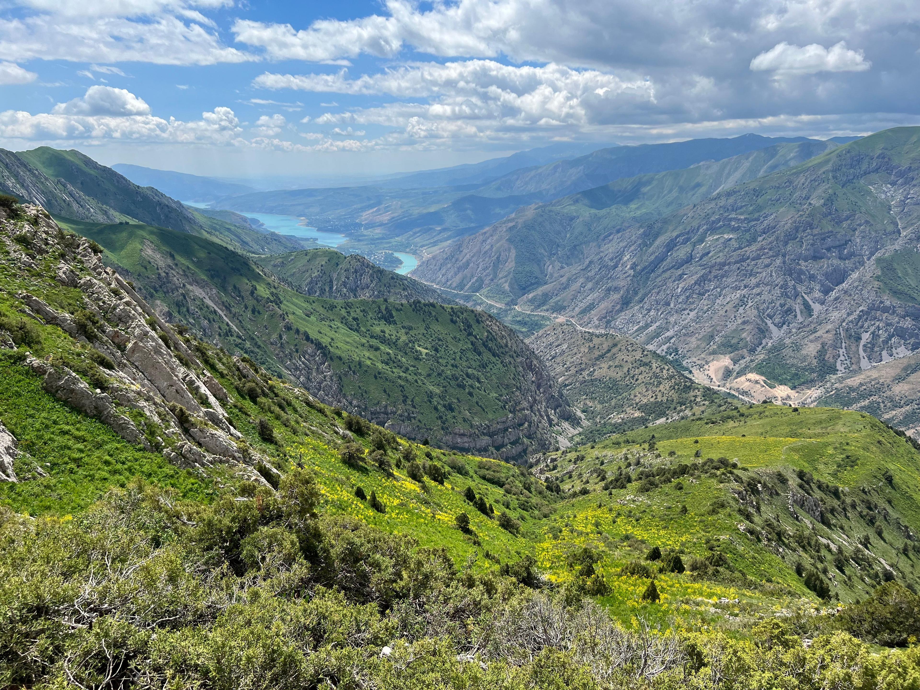
The mountains closest to Tashkent belong to the Western Tian Shan, and most of the walking happens inside the Ugam-Chatkal National Park. According to the Uzbek government, the park was created in 1990 and covers about 574,600 hectares, which makes it the largest protected area in the country. Part of it belongs to the Western Tien Shan UNESCO World Heritage Site, inscribed in 2016 together with areas in Kazakhstan and Kyrgyzstan.
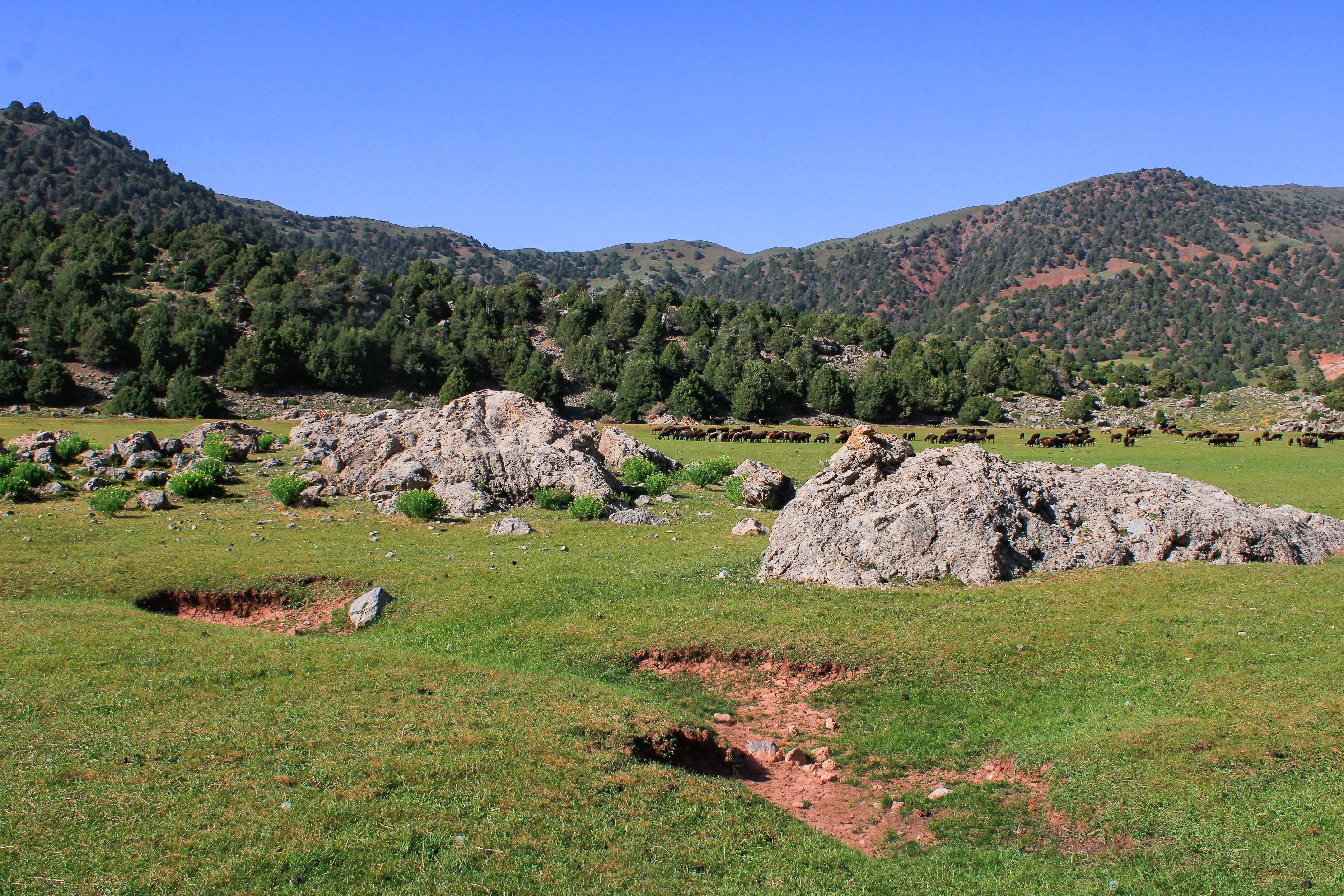
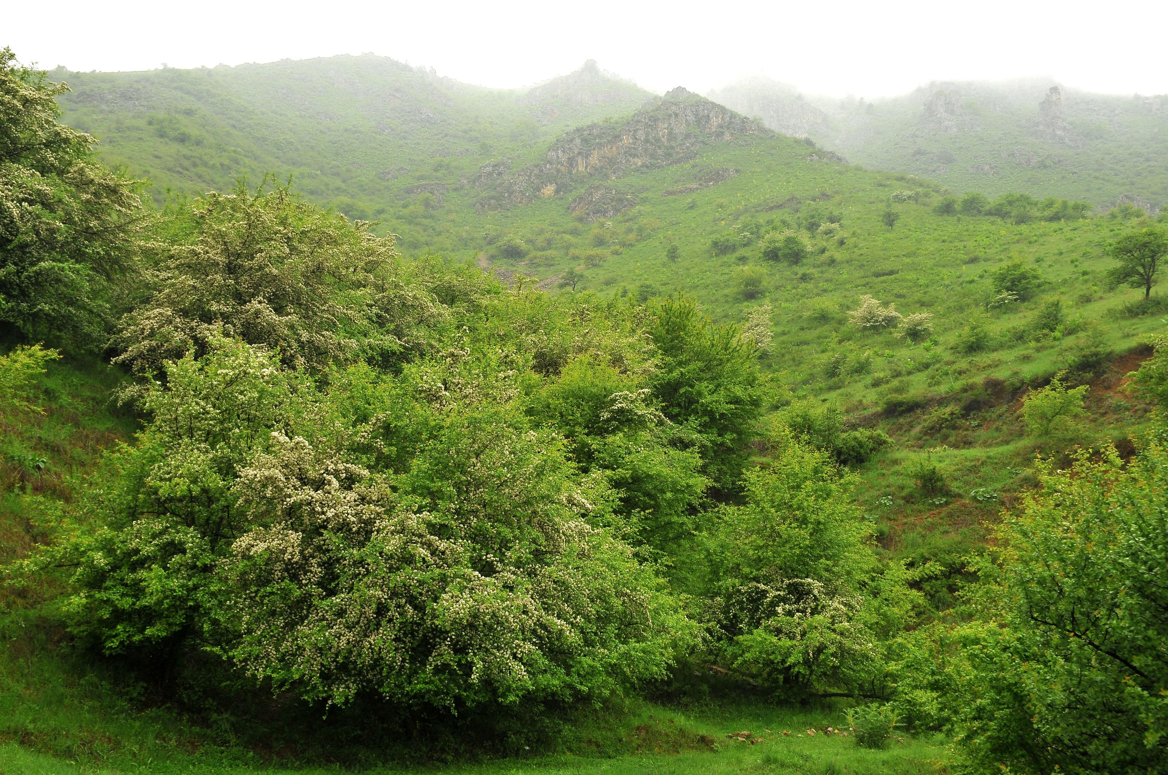
The landscape changes with height: walnut, apple and hawthorn on the lower slopes, juniper higher up, then alpine meadows and rock. In April and May the slopes are green and full of tulips and other wild flowers; by August the lower hills turn golden.
Popular hikes in the area include:
- Chimgan meadows and the Beldersay and Kumbel ridges: easy to moderate walks with big views, partly reachable by chairlift or gondola from the Amirsoy resort.
- Gulkam gorge: a canyon walk with waterfalls above the Charvak reservoir, with some scrambling.
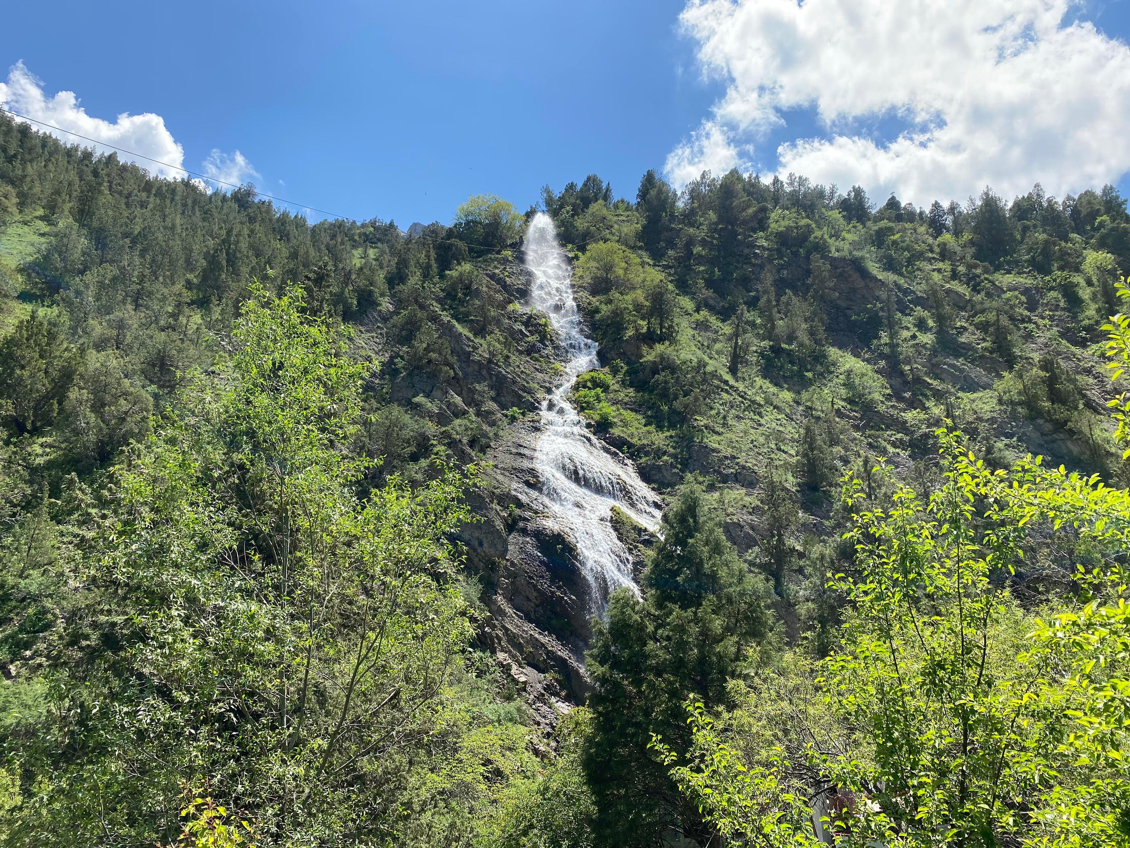
- Paltau and other waterfalls in the side valleys above Charvak: half-day walks along streams.
- The Ugam and Chatkal side valleys: longer day hikes and multi-day routes towards high passes, best with a guide.
Most of these start from the Charvak and Chimgan area, under two hours from Tashkent. We cover the logistics, cable cars and the Gulkam route in detail in our Chimgan and Charvak day trip guide.
Big Chimgan: the classic summit near Tashkent
Big Chimgan (Katta Chimyon), 3,309 metres, is the peak that Tashkent people point to. Its rocky crest rises above the Chimgan valley, which sits at roughly 1,600 metres, so the climb is about 1,700 metres of ascent and descent in a day.
What to expect:
- A long day of 8 to 11 hours for fit walkers, starting at first light.
- Steep grass and path at first, then scree and rock near the top, with some easy scrambling. It is a mountain route, not a trail walk.
- No water on the upper slopes in summer: carry at least 2 to 3 litres each.
- The usual season is roughly May to October, when the route is mostly free of snow. In early summer, snow patches can linger in gullies.
People get injured on Big Chimgan every year, usually on the descent, and the emergency services carry out rescues there. We strongly recommend going with a mountain guide who knows the route, especially for the first time. For an easier taste of the same views, walk the lower meadows or take the gondola up at Amirsoy and hike along the ridge.
The Pskem valley: wild mountains and the permit question
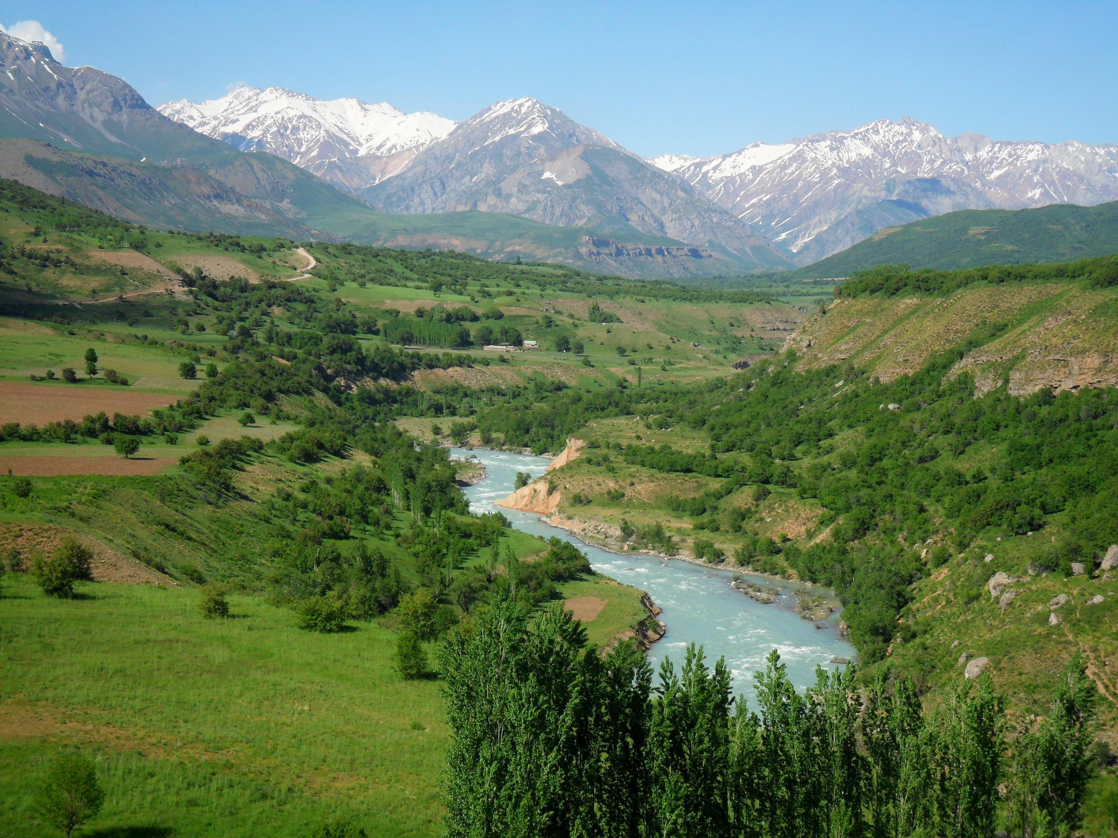
North of the Charvak reservoir, the Pskem river runs down a long valley between the Pskem and Ugam ranges. This is the wildest corner of the Tashkent region: high peaks above 4,000 metres, glaciers, side gorges, waterfalls and small villages along the river. It is a superb area for multi-day walking.
The catch is that the upper Pskem valley lies close to the border with Kyrgyzstan and Kazakhstan, and is treated as a border area. In late 2024 Uzbekistan tightened its rules for staying in border zones, and in practice foreign visitors to the upper valley now need a permit from the border authorities, arranged in advance through a local tour operator. The lower valley and the road around the reservoir are usually open, but checkpoints can turn back visitors without papers.
In August 2026 local media reported a draft presidential decree that would move permits for border mountain areas online, with a target processing time of 10 days. As of November 2026 it was still a draft, so plan for the existing process:
- Apply well before your trip, at least two to four weeks ahead.
- Give passport details, dates and the exact route.
- Carry your passport and the permit at all times in the valley.
- Expect a guide or tour operator to be named on the permit.
Rules here change often, so check before you book flights around a Pskem trek. We can tell you what is currently possible and arrange the paperwork with a route.
Nuratau mountains: village-to-village walks
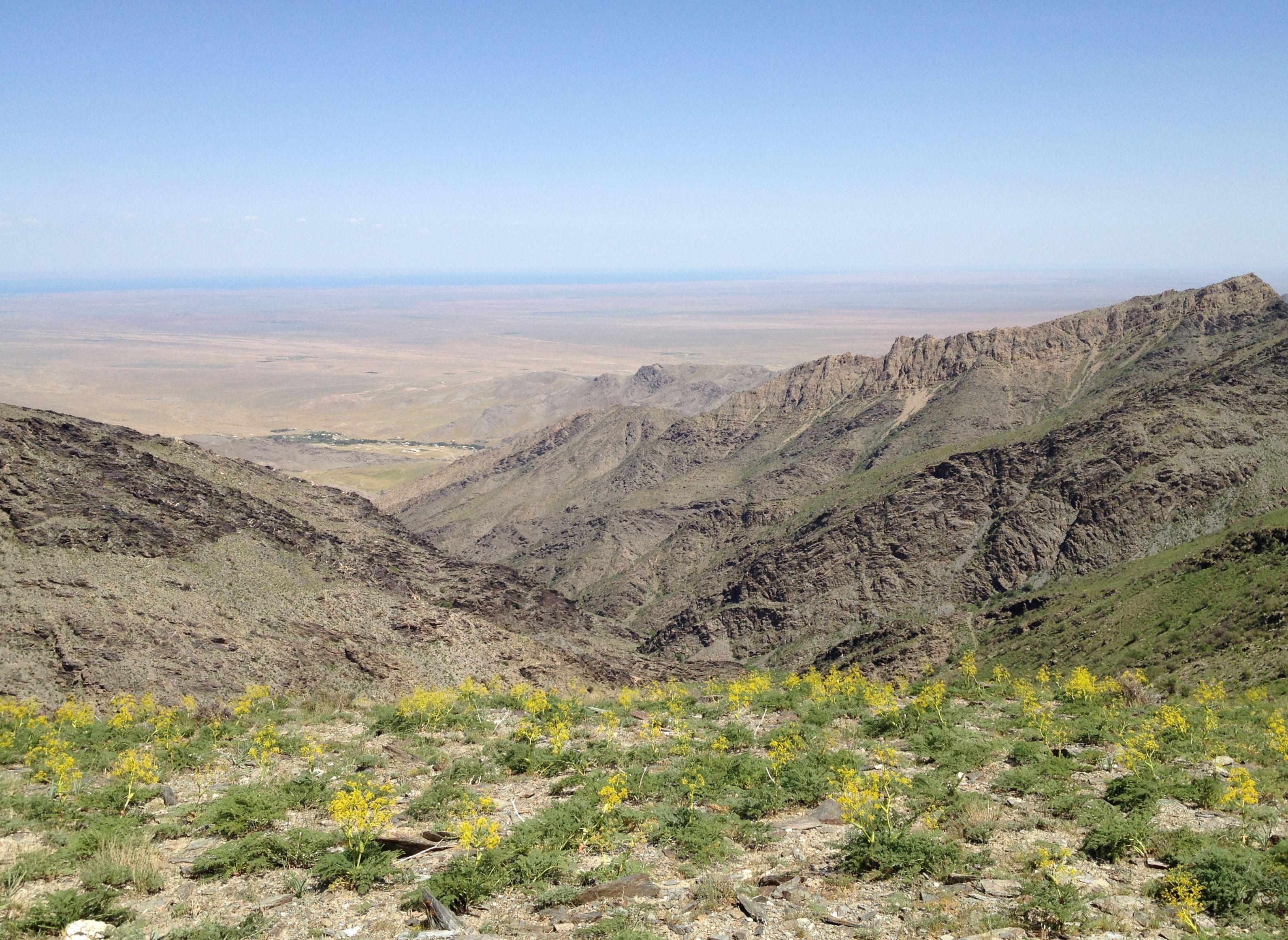
The Nuratau ridge rises out of the Kyzylkum desert between Samarkand and Bukhara, near the town of Nurata and the Aydarkul lake. It is a low range, with tops around 2,000 metres, but the scenery is lovely: dry rock above, and in the side valleys streams, walnut and mulberry trees and old Tajik-speaking villages such as Sentob, Hayat and Asraf.
This is the most relaxed hiking in Uzbekistan. You walk for three to six hours a day between villages on shepherds' paths, sleep in family homestays and eat what the family cooks. It works for families with older children and anyone who prefers culture to summits. Much of the range is part of the Nuratau-Kyzylkum biosphere area, set up to protect the walnut forests and wildlife such as the Severtsov wild sheep.
The best months are April to early June and September to October. July and August are hot even in the villages. A popular plan is two or three days in the Nuratau homestays combined with a night in a yurt camp at Aydarkul. Our separate guide to Nuratau and the Aydarkul yurt camp has the details on homestays, camel rides and getting there.
Zaamin: juniper forests in the Turkestan range
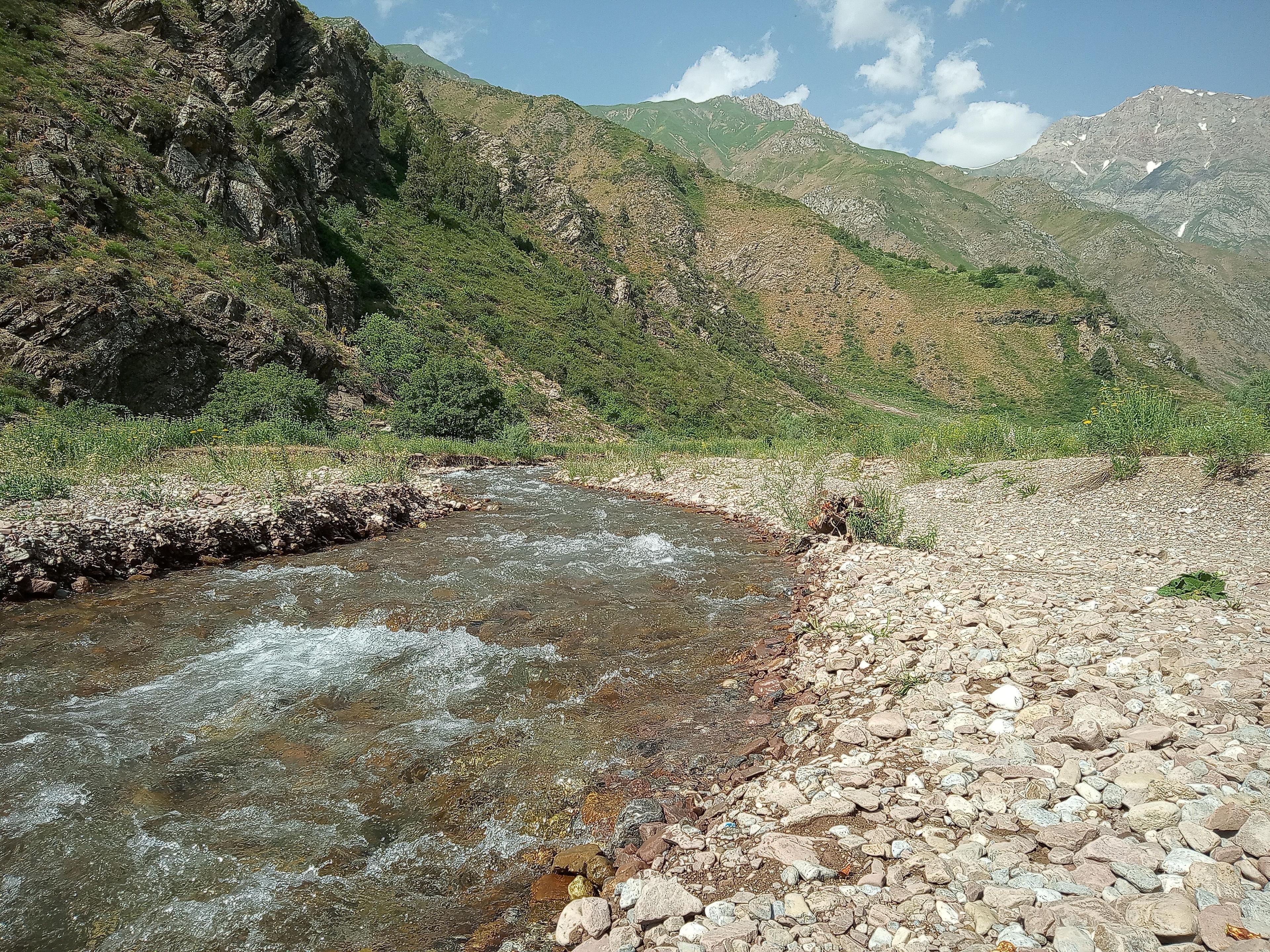
Zaamin (Zomin) National Park sits on the northern slopes of the Turkestan range in the Jizzakh region, between Tashkent and Samarkand. It is the oldest protected area in Uzbekistan, with origins as a nature reserve in 1926, and it is known for old juniper forests, clean mountain air and wide views across the range from the Suffa plateau.
For hikers, Zaamin offers:
- Easy forest walks around the sanatorium area at about 2,000 metres, including to an ancient juniper said to be around a thousand years old.
- Half-day walks to waterfalls and springs in the side valleys.
- Longer, more serious routes towards the high ridge of the Turkestan range, which follows the border with Tajikistan, best with a local guide.
The park has a modern cable car up to the Suffa plateau and a resort area with hotels and guesthouses, so it is easy to stay two or three nights and walk each day. Zaamin also hosts a trail ultramarathon, Zaamin Ultra. Read our full Zaamin National Park guide for getting there, the season and where to stay.
Baysun mountains: the far south
In the Surkhandarya region, the Baysun mountains (Boysuntog) form the southwestern end of the Gissar range. This is the least visited hiking area on our list and the most adventurous. The highest summits reach around 3,700 to 3,900 metres; the best known is Khoja Gur Gur Ota, at about 3,700 metres, a long and demanding climb from a high camp.
The range is limestone country, with deep gorges, caves and high meadows. Points of interest include:
- The Derbent and Machay gorges and the meadows above the town of Boysun.
- Teshik-Tash cave, where Soviet archaeologists found the remains of a Neanderthal child in 1938.
- Traditional villages in a region whose culture UNESCO lists as the Cultural Space of Boysun District.
Routes here are rough, roads to trailheads are poor and some areas lie near the Tajik border, so a local guide and vehicle are essential. The usual season is May to October, with July to September best for the high tops. Baysun combines well with Termez and its Buddhist sites; see our Termez and Surkhandarya guide.
Best time for hiking in Uzbekistan
The season depends on altitude more than on the calendar.
- March to April: walking in the foothills, Nuratau and the lower Tashkent mountains. Flowers start in late March. Snow still covers anything above about 2,000 to 2,500 metres.
- May to June: the best all-round season. Green slopes, wild tulips and poppies, long days and pleasant temperatures in the mountains. High passes may still hold snow until June.
- July to August: good for high routes (Big Chimgan, Pskem, the Turkestan and Baysun ridges) and for Zaamin, which stays cooler than the plains. Lowland villages and the desert can pass 40 degrees, so avoid long walks at low altitude at midday.
- September to October: clear, stable weather, golden colours and harvest season in the villages. Our favourite time for most routes. Nights get cold above 2,000 metres from late September.
- November to February: snow in the mountains, short days. This is skiing season at Amirsoy rather than hiking season, though low walks near Tashkent and in Nuratau can still be pleasant on sunny days.
For month-by-month temperatures in the cities, see our Uzbekistan weather by month guide.
Do you need a guide? Safety in the Uzbek mountains
For easy walks near Amirsoy, Zaamin or between Nuratau villages, experienced hikers can manage alone if they have a good offline map. For anything bigger, we recommend a guide, for several reasons:
- Trails are rarely marked, and paths made by shepherds split and fade.
- Mobile coverage disappears in many valleys.
- Border areas are not always obvious on the ground, and straying into one can mean a long conversation with border guards.
- A local guide speaks Uzbek, Russian or Tajik with shepherds, homestay hosts and checkpoint staff.
Typical prices in 2026 for a private mountain guide are roughly US$60 to 120 a day, depending on the route and language, plus transport. Guided multi-day treks with tents, food and a vehicle cost more.
Basic safety rules:
- Tell someone your route and expected return time.
- Start early: afternoon thunderstorms are common in the mountains in late spring and early summer.
- Do not drink untreated stream water below villages and pastures; carry a filter or purification tablets.
- Watch for shepherd dogs near flocks. Keep your distance and let the shepherd call them off.
- Avoid snow slopes in spring unless you have the experience and equipment.
- The national emergency number is 112. Coverage is patchy, so a satellite messenger is worth carrying on remote routes.
Check that your travel insurance covers hiking at the altitudes you plan and mountain rescue. Our guide to health, tap water and travel insurance in Uzbekistan has more.
What to pack for hiking in Uzbekistan
Bring your own gear: shops in Tashkent sell some outdoor equipment, but choice is limited and you will find almost nothing outside the capital.
- Broken-in hiking boots or sturdy trail shoes with good grip for scree.
- Trekking poles, especially for Big Chimgan and steep descents.
- Layers: a breathable base layer, a warm fleece and a waterproof jacket. Mountain weather changes fast.
- Sun protection: hat, sunglasses and high-factor sunscreen. The sun is strong at altitude.
- Water: at least 2 litres of capacity, plus a filter or tablets.
- Snacks for the trail. Dried apricots, nuts and raisins from any bazaar are perfect.
- An offline map app with downloaded routes, a power bank and a head torch.
- A small first-aid kit with blister plasters and any personal medicine.
- For homestays: a light sleeping bag liner and slippers. For camping: a tent, sleeping bag rated to about zero degrees, and a stove.
- Modest clothing for villages: trousers or long shorts and a T-shirt rather than vest tops.
Our Uzbekistan packing list covers what to wear in the cities.
Planning a hiking trip with TourEast
We can arrange hiking days and longer walking trips in Uzbekistan with private transport, an English-speaking guide or mountain guide, homestays or camps, and, where needed, border-zone permits. A day in the Chimgan mountains, a few days of village walks in Nuratau or a stay in Zaamin also fit neatly into a small-group or private tour of Samarkand and Bukhara; tell us how fit you are and how high you want to go, and we will suggest a route.