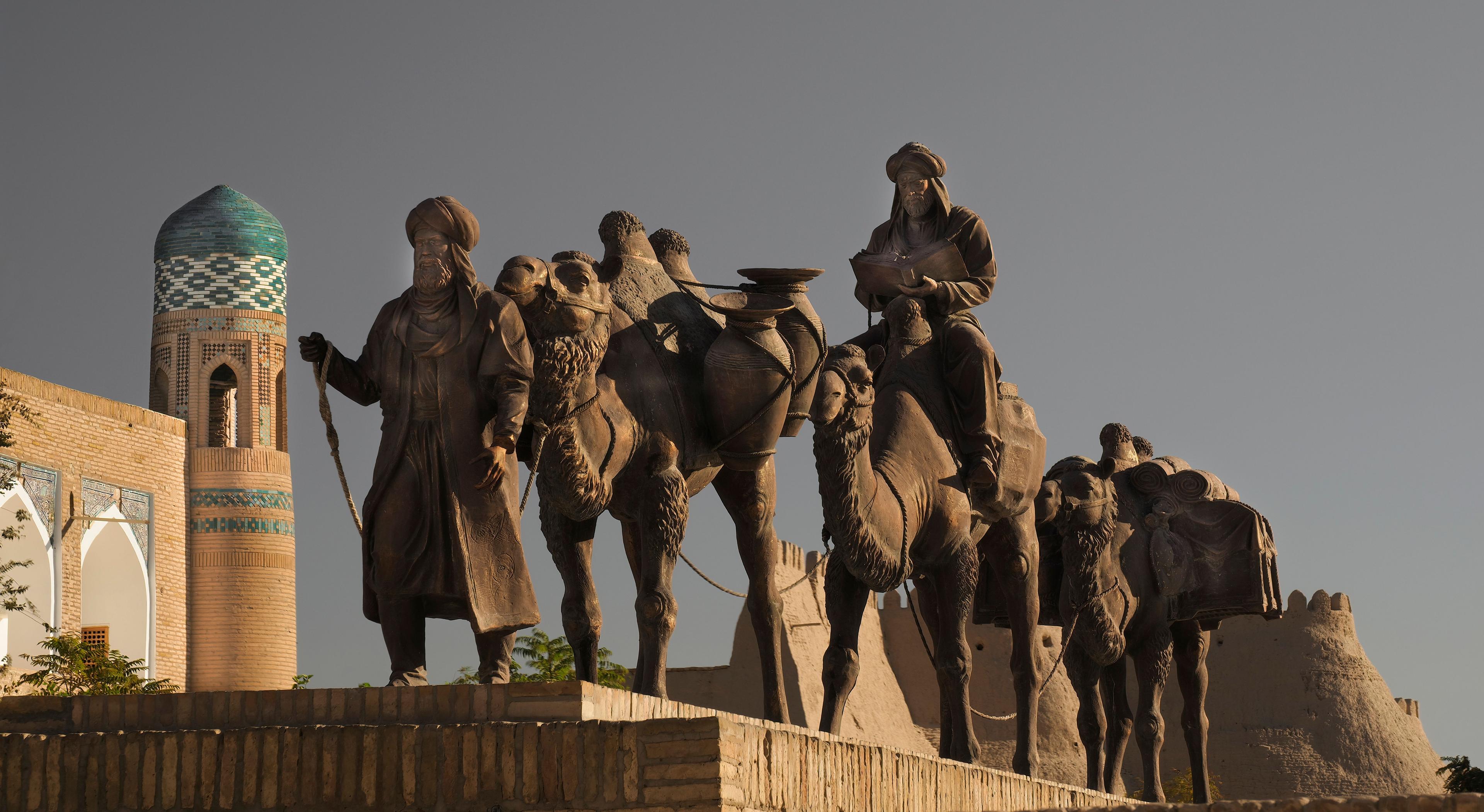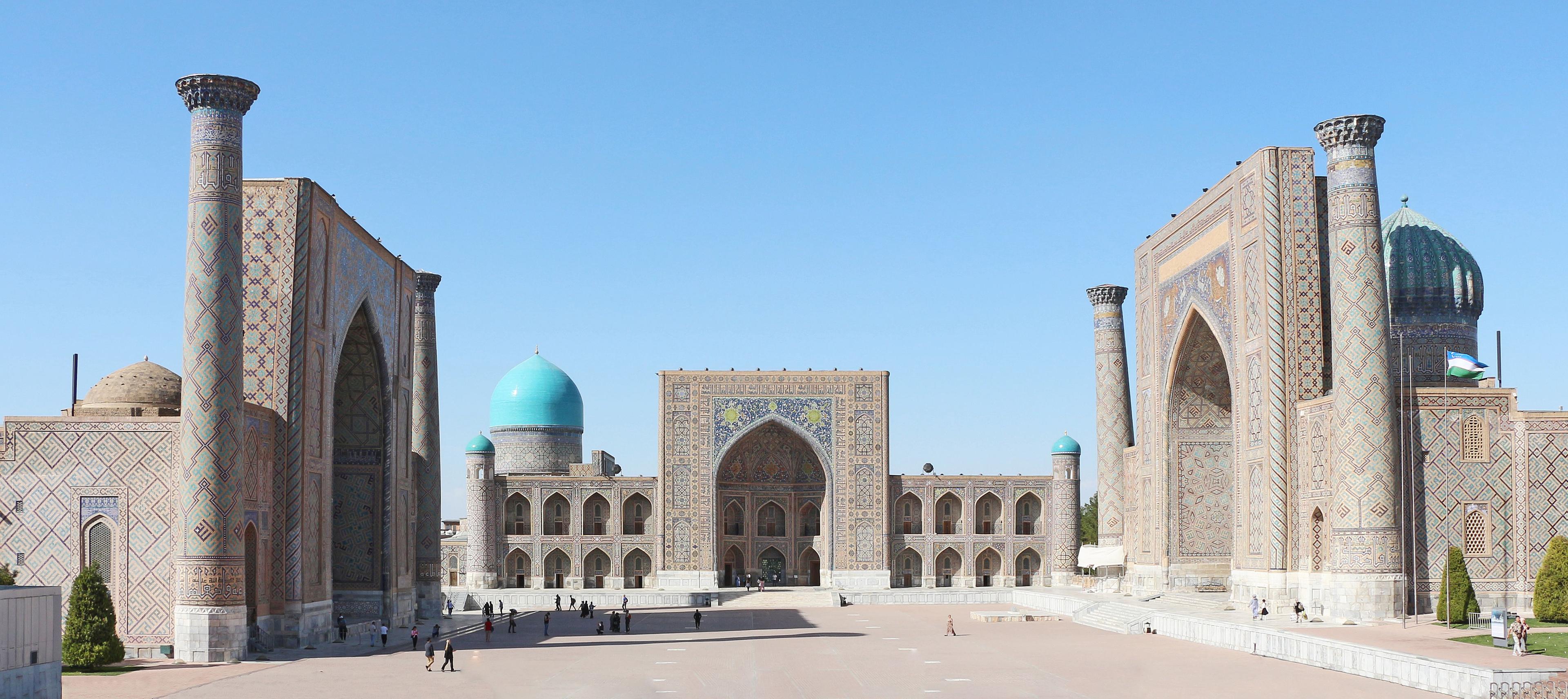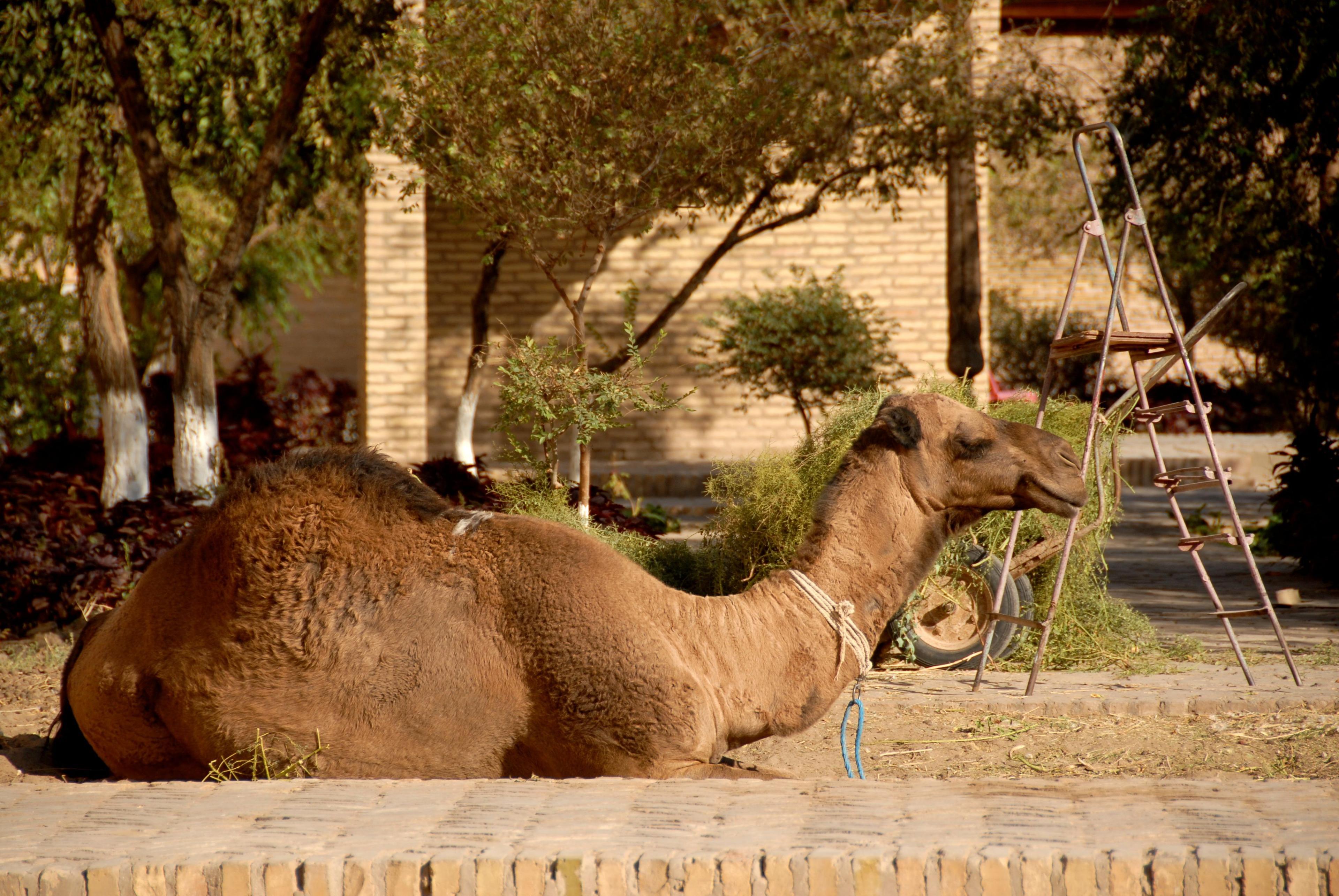
Termez has the Buddhist monasteries and the museum; the rest of Surkhandarya has the mountains. A route north from the Amu Darya through the Iron Gates gorge to Boysun, with the Teshik-Tash Neanderthal cave, the 500-metre cliff of Khoja Gur-Gur-Ota, a thousand-year-old plane tree, a salt cave, painted rock art at Zarautsay and the moss-covered Sangardak waterfall. Logistics, seasons and the new Bukhara flight.
Facts, prices and schedules checked on November 11, 2026
Most travellers who reach Surkhandarya, the southernmost region, see Termez and turn back: the Buddhist stupas, the museum, the shrine of al-Hakim at-Termizi on the bank of the Amu Darya, a view of Afghanistan across the water. It is a good day, and it is the flat part. North of the city the road climbs into limestone country that the rest of the country barely knows: the Baysuntau and Kugitang ranges, with the deepest cave in Asia, a Neanderthal burial, a gorge that Alexander's successors fortified and the Chinese pilgrim Xuanzang walked through, and valleys where the villages still make felt, sing epics and cook in pits.
This guide takes the road north from Termez in order: the Kugitang foothills with their salt cave and rock paintings, the Derbent gorge and Uzundara, Boysun and its caves and cliffs, and finally the green Hissar foothills around Denau and the Sangardak waterfall. It ends with the practical section: how to get in and out, including the new Friday flight from Bukhara, and when to come. Termez itself and the Buddhist sites have their own guides on this site.
The lie of the land
Surkhandarya is a basin open to the south, where the Surkhan river runs down to the Amu Darya and the Afghan border, walled on three sides by mountains: the Kugitang and Baysuntau to the west and north-west, the Hissar to the north, the Babatag to the east. Termez, at 300 m, is the hottest city in Uzbekistan; Boysun, 1,200 m up and 150 km north, is cool enough for walnut trees and snow. The M39 highway links them and continues over the Derbent gorge to Shakhrisabz and Samarkand, so the region can be crossed as a loop: fly into Termez, drive north through Boysun and leave over the mountains to Samarkand, or reverse it. Three days is the minimum, four with Sangardak.
Kugitang: the salt cave and Zarautsay
The first turning off the main road, 80 km north-west of Termez in the Sherabad district, leads to the red foothills of the Kugitang and two places that sum up the region's odd mix of science and devotion. Khojaikon is a hill of rock salt, streaked white and pink, with a natural cave of about 155 m of galleries that has been used for speleotherapy since 1989; asthma and allergy patients spend two hours a day in its cool, salt-laden air for weeks at a time, and casual visitors can walk in to see the glittering walls and the brine spring. A large health-resort development was announced for the site in 2025, so expect construction.
Further into the hills, inside the Surkhan State Reserve, the gorge of Zarautsay holds the best-known painted rock art in Central Asia: some 200 figures in red ochre on the walls of a rock shelter, showing masked hunters, dogs and wild bulls, dated by most scholars to the Mesolithic or early Neolithic and on Uzbekistan's UNESCO Tentative List. The paintings are faint; the one-to-two-hour walk up the pink limestone canyon to reach them is the experience. The reserve asks for prior permission and a ranger, which we arrange, and the Termez Archaeological Museum shows clear copies that are worth seeing first.
The Iron Gates and Uzundara
Between Sherabad and Boysun the highway enters the Derbent gorge, a slot through the limestone that for two thousand years was the only convenient road between Bactria and Sogdiana. The Persians called it Darband, the Turks Temir Qapig and the Chinese Tiemen, all meaning the Iron Gate; Xuanzang, passing through in 630 on his way to India, described a fortified pass with iron-bound double doors hung with bells, and in 1404 the Castilian envoy Clavijo found a customs post here taxing everything that came up from the south. The gorge is short and dramatic, with vertical walls a few metres apart in places.
On the ridge above, at about 1,700 m, lies Uzundara, a Hellenistic fortress identified in 1991 and excavated since 2013 by a Russian-Uzbek team: a walled quadrangle, a triangular citadel and an outer wall with thirteen towers, founded around 300 BC in the reign of Seleucus I or Antiochus I and burnt around the middle of the second century BC when nomad armies broke into Bactria. It is one of the very few intact Hellenistic military sites anywhere in Central Asia, reached by a rough track and a short climb, and a guide who knows the dig is essential to read the walls.
Boysun: the town, the festival and the plane tree
Boysun sits in a bowl of hills at 1,200 m, a market town of flat-roofed houses and poplar lanes whose culture UNESCO proclaimed a Masterpiece of the Oral and Intangible Heritage in 2001: the mountain villages around it kept pre-Islamic rituals, epic singing, felt-making and embroidery that disappeared elsewhere. Every second spring the Boysun Bahori festival fills the town with folk troupes from across Central Asia; the 2026 edition runs 1–10 May at the new festival complex in the Bibishirin quarter, with yurts, kupkari horse games, craft markets and the pit-roasted tandir-kabob that is the local dish. Outside festival weeks Boysun is quiet, with a handful of guesthouses, a Sunday bazaar and suzani workshops.
Twenty kilometres south at Sayrob, beside the old road, stands a plane tree that locals date to around a thousand years. Its hollow trunk, several metres across, once housed a village school and now a one-room museum; a spring rises beside it and a chaikhana serves tea in its shade. It is the natural lunch stop between the gorge and the town. Twenty kilometres the other way, up a side valley, the cold mineral spring of Omonkhona is both a small sanatorium, where people drink the sulphate water for the liver in week-long courses, and a shrine, and both traditions get along.
Teshik-Tash, Dark Star and the cliff of Khoja Gur-Gur-Ota
The limestone wall west of Boysun is one of the great cave regions of Asia, and the caves of Boysun have three claims to world attention. Teshik-Tash, a grotto at about 1,500 m in the Zovtalashsay gorge above the village of Machay, is where Alexei Okladnikov found in 1938 the skeleton of a Neanderthal child aged eight to eleven, lying with pairs of ibex horns around it; whether the horns were placed deliberately is still argued, but it remains one of the earliest candidates for a burial. The grotto is empty now, since it was fully excavated, and the walk up the gorge to it, 40 minutes by car from Boysun then one to two hours on foot with a guide, is the attraction. The child's reconstructed face is in the Termez museum.
Boy-Bulok, near Dekhibolo, descends 1,415 m and is the deepest cave in Asia outside the Caucasus; Dark Star, in the great cliff of the Khoja Gur-Gur-Ota massif, is an ice-lined system more than 900 m deep and 17 km long, reached by roping down the cliff face, which earned it the nickname of the underground Everest. Neither can be visited. The massif above them can: Khoja Gur-Gur-Ota is a flat-topped mountain whose south face drops 500 m in a single wall, and the walk across its summit plateau, among irises and dwarf juniper with the whole of Surkhandarya below, is the finest day on foot in the south. It is a full day from Boysun with a local guide and a 4x4 to the trailhead; there is no path and no water, so it belongs to May, June, September and October.
The Hissar foothills: Sangardak and the Topalang valley
North-east of Boysun the road descends to Denau and the Surkhan valley, then climbs again into the Hissar foothills of the Sariosiyo district, the greenest corner of the region. The Sangardak waterfall, about 30 km from Denau and 200 km from Termez, is fed by karst springs rather than snowmelt, so it runs all summer, and its lime has built a cliff of travertine thick with moss and ferns over which the water falls in dozens of threads. The main cascade visible from the path is 15–20 m high; local guides count the whole stepped slope and say 150 m. A shrine stands beside it, families from Denau picnic on Fridays, and the village above, with its stone-and-timber houses and walnut orchards, sells honey and dried fruit. A cable car and new guesthouses have been announced, so the site is changing.
Beyond Sangardak the Topalang river is dammed by a 122 m rock-fill wall, and the valley above the reservoir is walking country under the 4,000 m Hissar peaks. From Denau it is two hours to the Tajik border and on to Dushanbe.
How to get there, when to go and what it costs
Getting in, as of 2026:
- By air: Uzbekistan Airways flies Tashkent–Termez daily, about 1 hour 15 minutes. Since 10 July 2026 Silk Avia also flies Bukhara–Sariosiyo every Friday on an ATR 72, departing 08:30 and arriving 09:30, with the return at 10:10; Sariosiyo airport, reopened in 2025, is 30 km from Denau and puts Sangardak within an hour of landing. Check that the schedule has held before relying on it.
- By train: overnight trains Tashkent–Termez take 12–15 hours and stop at Boysun and Derbent; a daytime Sharq-class service runs some days.
- By road: Termez to Boysun 150 km, about three hours; Boysun to Samarkand via Shakhrisabz 280 km, five to six hours over the Derbent gorge and the Takhtakaracha pass; Boysun to Denau 110 km, two hours.
A private car with driver for the region costs roughly US$100–150 a day; local guides in Boysun US$30–50 a day; guesthouses in Boysun and Sangardak US$20–40 per person with meals. The Surkhan reserve permit for Zarautsay takes a few days. Seasons: April to early June, when the hills are green and the irises are out, and September to October; July and August exceed 40 °C in Termez though Boysun stays bearable. Winter closes the high walks. Termez is a border city: carry your passport and expect checkpoints.

Surkhandarya with TourEast
We have guided travellers around Termez for years, always as private trips built on request; the mountain extension is the part we most enjoy building. Twelve Gates of the Silk Road, our 12-day grand tour, does not go south, but on request we can extend it from Samarkand over the Derbent gorge to Termez, adding Boysun and Uzundara on the way. Silk Road in Silk, the private luxury itinerary, can take the same road on request, with a night in Boysun and the Khoja Gur-Gur-Ota walk for those who want it. For a dedicated four- or five-day Surkhandarya loop, Termez to Sangardak with the caves, the reserve permits and the Friday flight from Bukhara arranged, send us your dates; this is a region where a guide who grew up in these valleys makes the difference between a drive and a journey.
Frequently asked questions
Photo gallery
Photo: Iaa2023 / Wikimedia Commons, CC BY 4.0; Kemal KOZBAEV / Wikimedia Commons, CC BY-SA 4.0; Aleksej Kuznecov / Wikimedia Commons, CC BY-SA 4.0; Panpanchik / Wikimedia Commons, CC BY-SA 4.0; Jonibek Qo'zimurodov / Wikimedia Commons, CC BY-SA 4.0; Miss Kamola / Wikimedia Commons, CC0